MyTopo
Tendal Louisiana US Topo Map
Couldn't load pickup availability
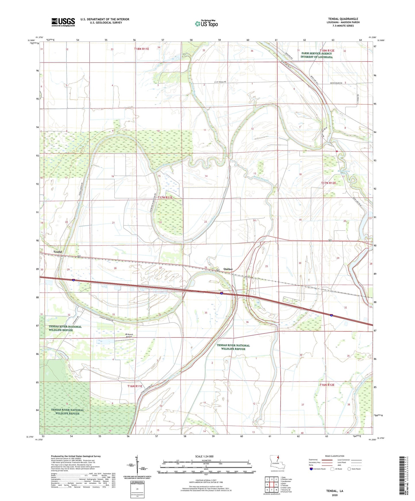
2020 topographic map quadrangle Tendal in the state of Louisiana. Scale: 1:24000. Based on the newly updated USGS 7.5' US Topo map series, this map is in the following counties: Madison. The map contains contour data, water features, and other items you are used to seeing on USGS maps, but also has updated roads and other features. This is the next generation of topographic maps. Printed on high-quality waterproof paper with UV fade-resistant inks.
Quads adjacent to this one:
West: Delhi
Northwest: Epps
North: Panther Lake
Northeast: Sondheimer
East: Tallulah
Southeast: Fortune Fork
South: Waverly SE
Southwest: Indian Lake
Contains the following named places: 4B Ranch Airport, Bayou Despair, Bear Lake, Bear Lake Fire Protection District, Despair Lake, Island Chute, Mount Nebo Church, New Mount Zion Church, Parish Governing Authority District 3, Quebec, Tendal, Tensas Bayou, Ward Three