MyTopo
Waverly SE Louisiana US Topo Map
Couldn't load pickup availability
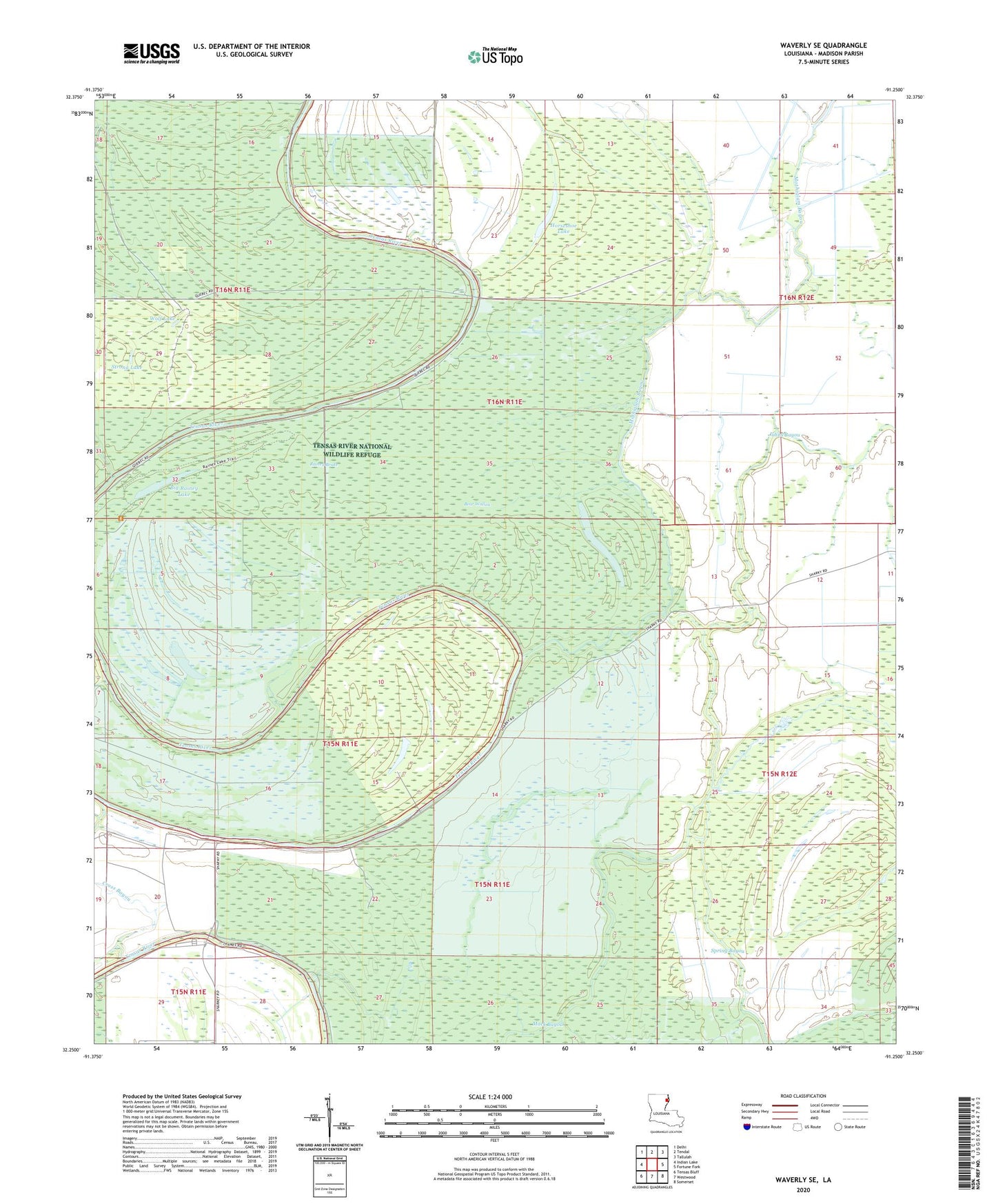
2024 topographic map quadrangle Waverly SE in the state of Louisiana. Scale: 1:24000. Based on the newly updated USGS 7.5' US Topo map series, this map is in the following counties: Madison. The map contains contour data, water features, and other items you are used to seeing on USGS maps, but also has updated roads and other features. This is the next generation of topographic maps. Printed on high-quality waterproof paper with UV fade-resistant inks.
Quads adjacent to this one:
West: Indian Lake
Northwest: Delhi
North: Tendal
Northeast: Tallulah
East: Fortune Fork
Southeast: Somerset
South: Westwood
Southwest: Tensas Bluff
This map covers the same area as the classic USGS quad with code o32091c3.
Contains the following named places: Bear Wallow, Big Rainey Lake, Cross Bayou, Dunlap Lake, Horseshoe Lake, Johns Bayou, Judd Bayou, Little Bear Lake, Little Rainey Lake, Mack Bayou, Mothiglam Bayou, Parish Governing Authority District 2, Rainey Brake, Spring Bayou, Strong Lake, Ward Two, Wolf Lake