MyTopo
Tiger Island Louisiana US Topo Map
Couldn't load pickup availability
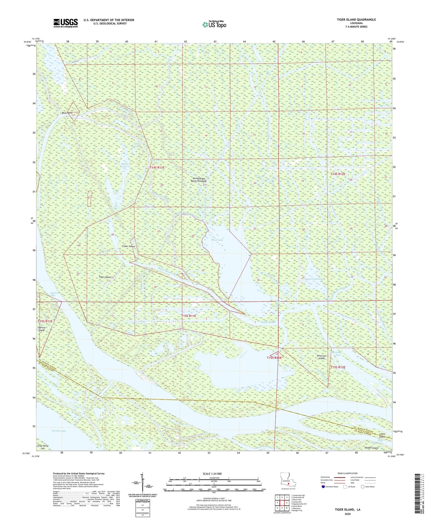
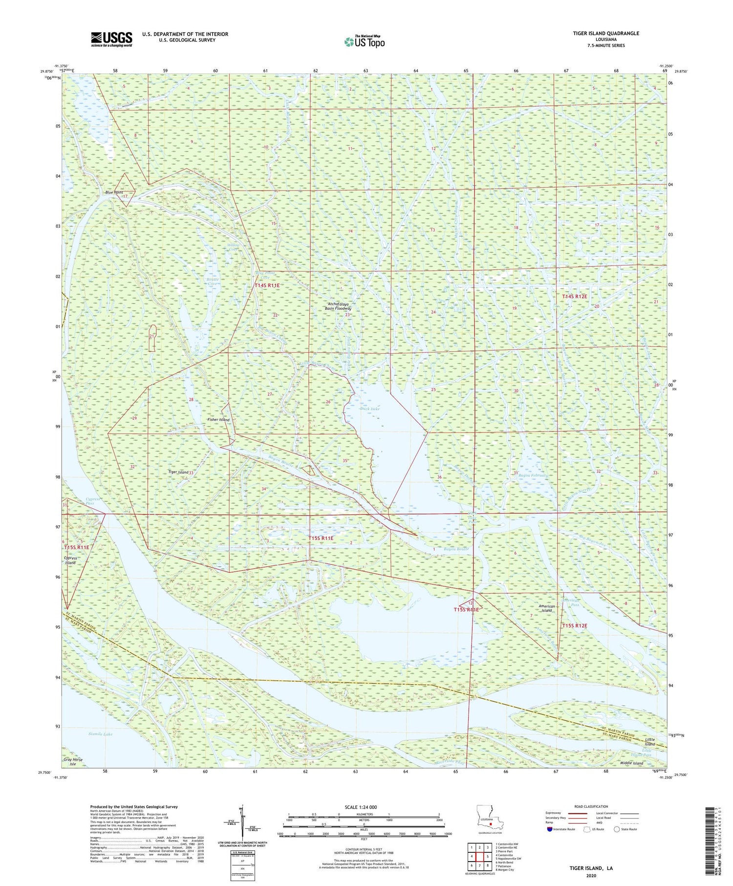
2020 topographic map quadrangle Tiger Island in the state of Louisiana. Scale: 1:24000. Based on the newly updated USGS 7.5' US Topo map series, this map is in the following counties: St. Martin, St. Mary. The map contains contour data, water features, and other items you are used to seeing on USGS maps, but also has updated roads and other features. This is the next generation of topographic maps. Printed on high-quality waterproof paper with UV fade-resistant inks.
Quads adjacent to this one:
West: Centerville
Northwest: Centerville NW
North: Centerville NE
Northeast: Pierre Part
East: Napoleonville SW
Southeast: Morgan City
South: Patterson
Southwest: North Bend
Contains the following named places: American Bayou, American Island, American Pass, Bayou April, Bayou Boutte, Bayou Darbui, Bayou February, Bayou Fisher, Bayou March, Bayou May, Big Bayou Chene, Big Bayou Joe, Blind Bayou, Blue Point, Blue Point Cove, Boutte Cove, Campers Bayou, Cypress Island, Cypress Pass, Duck Lake, Duck Lake Oil and Gas Field, Duck Lake Pass, Fisher Island, Grand Lake, Little Bayou Chene, Little Bayou Long, Little Island, Little Island Pass, Middle Island, Mystic Crew Bayou, Tiger Island, Willow Cove