MyTopo
Centerville NE Louisiana US Topo Map
Couldn't load pickup availability
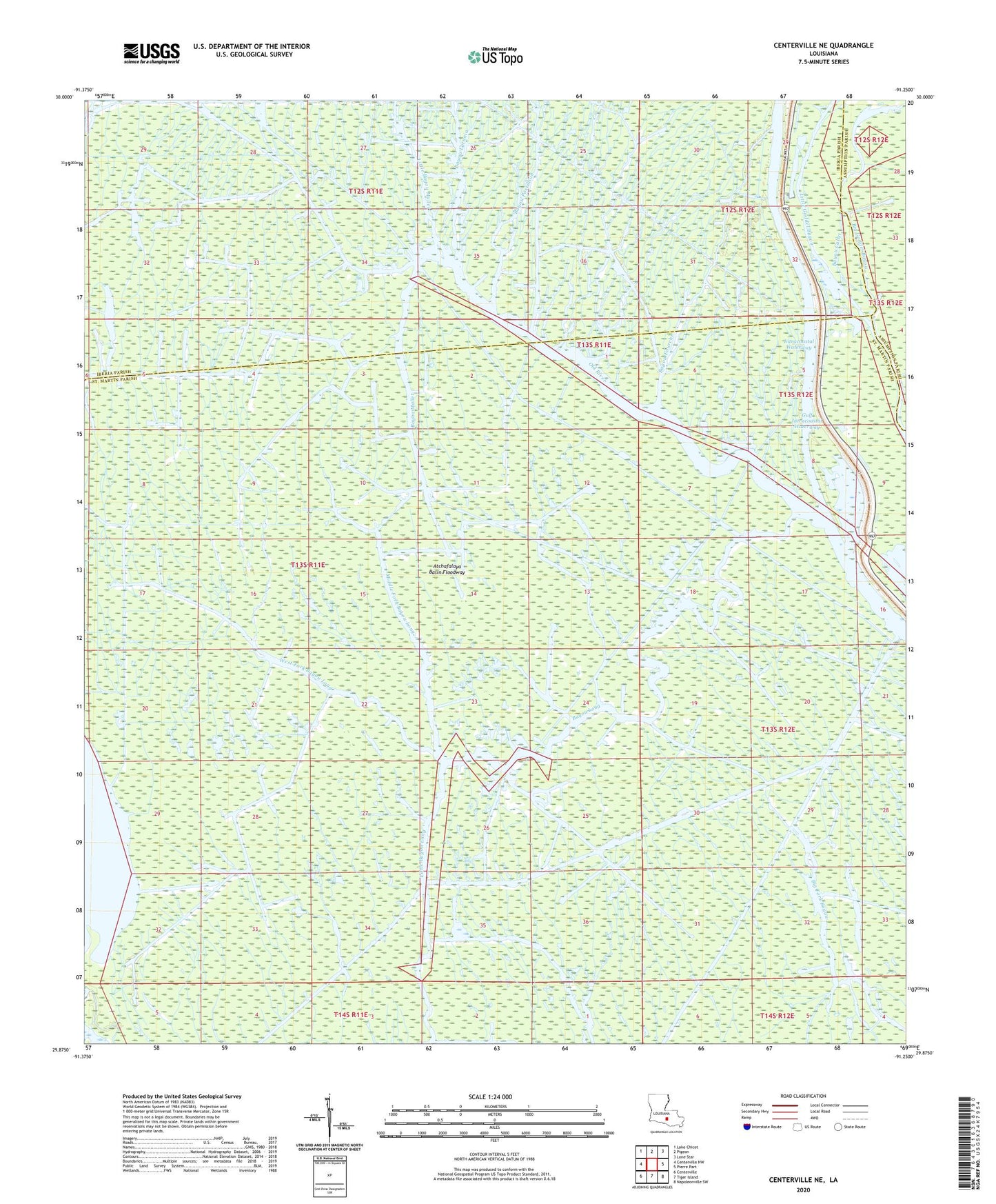
2024 topographic map quadrangle Centerville NE in the state of Louisiana. Scale: 1:24000. Based on the newly updated USGS 7.5' US Topo map series, this map is in the following counties: St. Martin, Iberia, Assumption. The map contains contour data, water features, and other items you are used to seeing on USGS maps, but also has updated roads and other features. This is the next generation of topographic maps. Printed on high-quality waterproof paper with UV fade-resistant inks.
Quads adjacent to this one:
West: Centerville NW
Northwest: Lake Chicot
North: Pigeon
Northeast: Lone Star
East: Pierre Part
Southeast: Napoleonville SW
South: Tiger Island
Southwest: Centerville
This map covers the same area as the classic USGS quad with code o29091h3.
Contains the following named places: Bayou Calist, Bayou Fourche, Bayou Latania, Bayou Long, Bayou Long Gas Field, Bayou Mallet, Bayou Postillion, Bayou Postillion Oil Field, Big Goddel Bayou, Little Bayou Mallet, Little Goddel Bayou, Middle Fork Bayou Long, Mystic Bayou Gas Field, Old River, West Fork Bayou Long, Wildcat Bayou