MyTopo
West of Johnson Bayou Louisiana US Topo Map
Couldn't load pickup availability
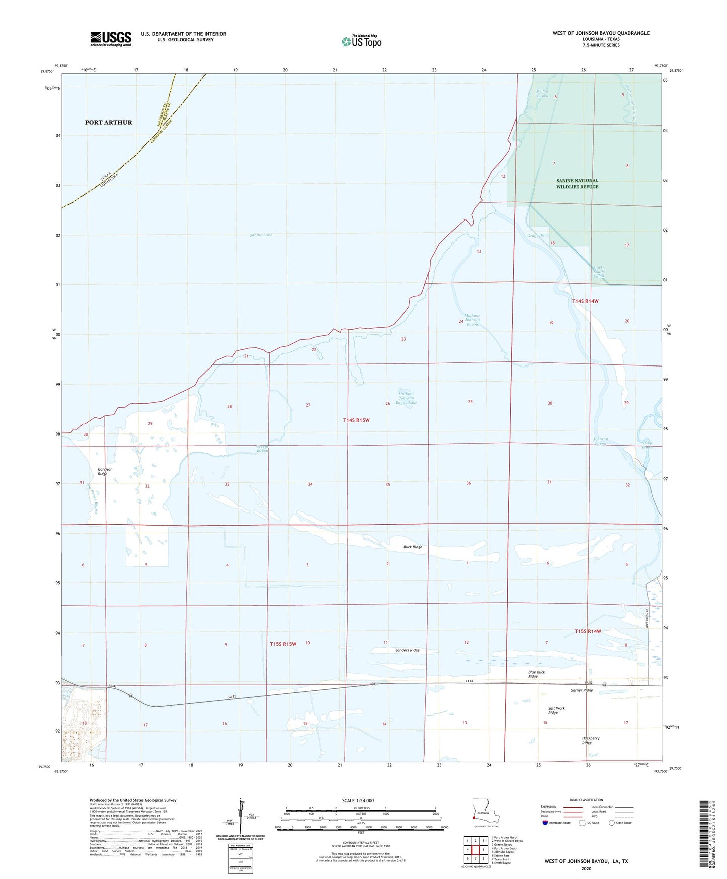
2024 topographic map quadrangle West of Johnson Bayou in the state of Louisiana. Scale: 1:24000. Based on the newly updated USGS 7.5' US Topo map series, this map is in the following counties: Cameron, Jefferson, Orange. The map contains contour data, water features, and other items you are used to seeing on USGS maps, but also has updated roads and other features. This is the next generation of topographic maps. Printed on high-quality waterproof paper with UV fade-resistant inks.
Quads adjacent to this one:
West: Port Arthur South
Northwest: Port Arthur North
North: West of Greens Bayou
Northeast: Greens Bayou
East: Johnson Bayou
Southeast: Smith Bayou
South: Texas Point
Southwest: Sabine Pass
Contains the following named places: Buck Ridge, Garner Ridge, Garrison Ridge, Greens Bayou, Johnson Bayou, Johnson Bayou Landing, Madame Johnson Bayou, Madame Johnson Bayou Lake, Northwest Johnson Bayou Gas Field, Sanders Ridge, West Johnson Bayou Gas Field, Willow Bayou