
MyTopo
Cedar Lake Maine US Topo Map
Couldn't load pickup availability
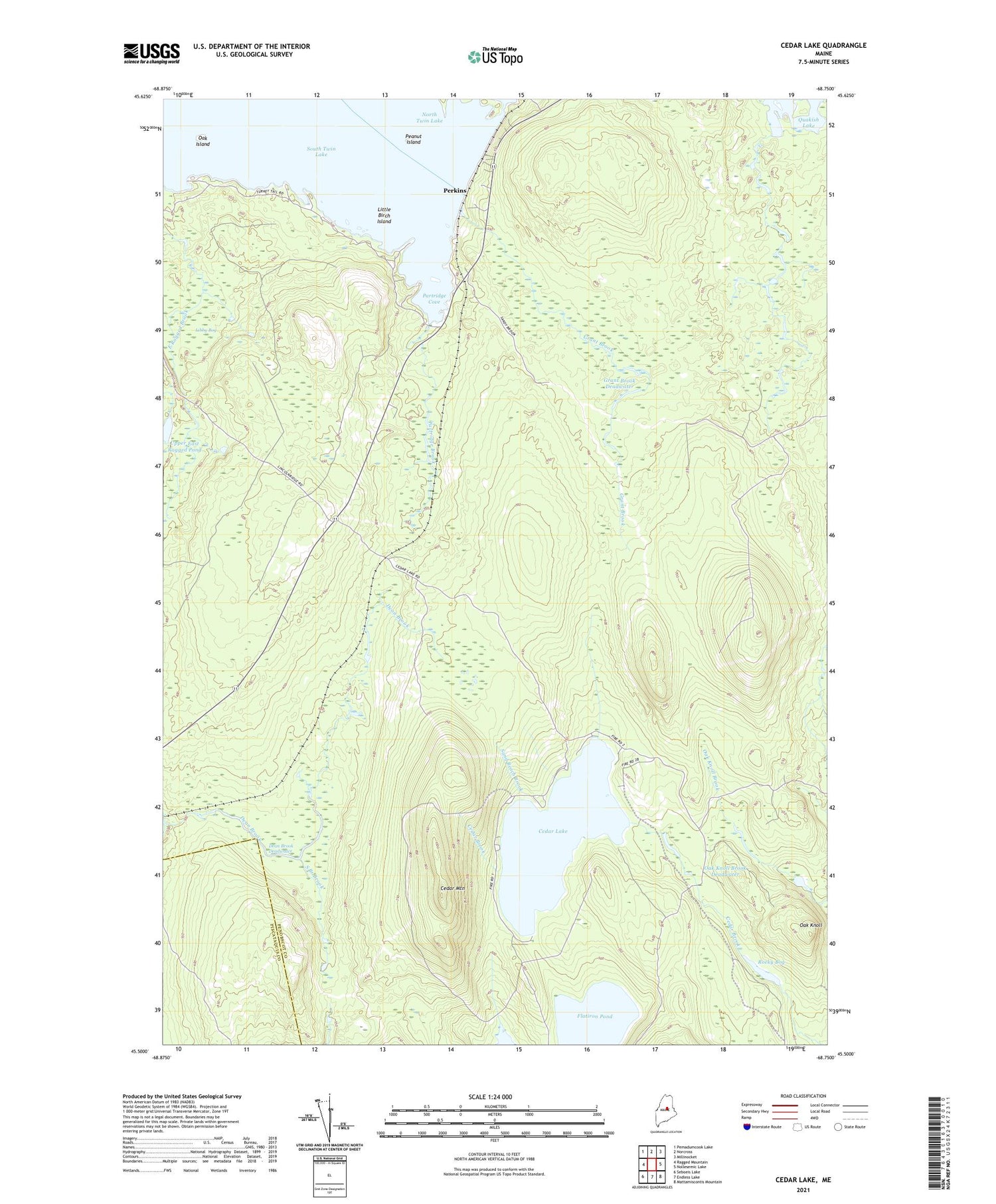
2021 topographic map quadrangle Cedar Lake in the state of Maine. Scale: 1:24000. Based on the newly updated USGS 7.5' US Topo map series, this map is in the following counties: Penobscot, Piscataquis. The map contains contour data, water features, and other items you are used to seeing on USGS maps, but also has updated roads and other features. This is the next generation of topographic maps. Printed on high-quality waterproof paper with UV fade-resistant inks.
Quads adjacent to this one:
West: Ragged Mountain
Northwest: Pemadumcook Lake
North: Norcross
Northeast: Millinocket
East: Nollesemic Lake
Southeast: Mattamiscontis Mountain
South: Endless Lake
Southwest: Seboeis Lake
Contains the following named places: Cedar Lake, Cedar Lake Camps, Cedar Lake Trail, Cedar Mountain, Dean Brook, Dean Brook Deadwater, Flatiron Pond, Grant Brook, Grant Brook Deadwater, Gray Ledge Dam Trail, Ingalls Siding, Libby Bog, Little Birch Island, Long A Township, Oak Island, Oak Knoll, Oak Knoll Brook, Oak Knoll Brook Deadwater, Old Long A Siding, Partridge Brook, Partridge Cove, Peanut Island, Perkins, Quakish Brook, Ragged Mountain Trail, Rocky Bog, Sand Beach Brook, South Branch Brook, South Twin Lake, Upper East Ragged Pond


