MyTopo
Ragged Mountain Maine US Topo Map
Couldn't load pickup availability
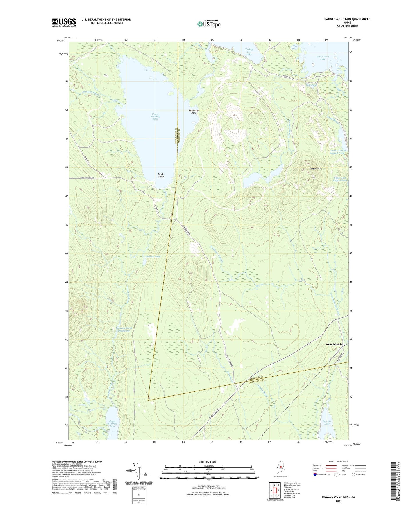
2024 topographic map quadrangle Ragged Mountain in the state of Maine. Scale: 1:24000. Based on the newly updated USGS 7.5' US Topo map series, this map is in the following counties: Penobscot, Piscataquis. The map contains contour data, water features, and other items you are used to seeing on USGS maps, but also has updated roads and other features. This is the next generation of topographic maps. Printed on high-quality waterproof paper with UV fade-resistant inks.
Quads adjacent to this one:
West: Jo-Mary Mountain
Northwest: Nahmakanta Stream
North: Pemadumcook Lake
Northeast: Norcross
East: Cedar Lake
Southeast: Endless Lake
South: Seboeis Lake
Southwest: Ebeemee Mountain
This map covers the same area as the classic USGS quad with code o45068e8.
Contains the following named places: Balancing Rock, Black Island, Duck Brook, East Ragged Brook, Johnston Brook, Jo-Mary Trail, Lost Pond, Lower East Ragged Pond, Lower West Ragged Pond, Ragged Mountain, Sanborn Brook, Sanborn Pond, Sandy Brook, The Inlet, Upper Ebeemee Lake, Upper Jo-Mary Lake, Upper Jo-Mary Stream, Upper West Ragged Pond, Veazie Gore, Wangan Brook, Wangan Brook Deadwater, West Ragged Brook, West Seboeis, West Seboeis Stream