MyTopo
Fort Kent North Maine US Topo Map
Couldn't load pickup availability
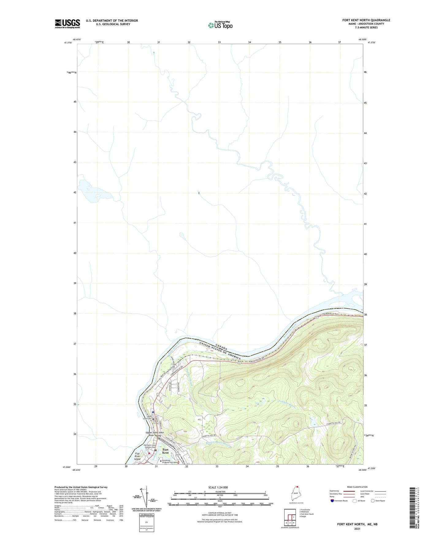
2024 topographic map quadrangle Fort Kent North in the state of Maine. Scale: 1:24000. Based on the newly updated USGS 7.5' US Topo map series, this map is in the following counties: Aroostook. The map contains contour data, water features, and other items you are used to seeing on USGS maps, but also has updated roads and other features. This is the next generation of topographic maps. Printed on high-quality waterproof paper with UV fade-resistant inks.
Quads adjacent to this one:
East: Frenchville
Southeast: Daigle
South: Fort Kent South
Southwest: Wheelock
This map covers the same area as the classic USGS quad with code o47068c5.
Contains the following named places: Ambulance Service, Assembly of God Church, Audibert Brook, Blainer School, Fish River, Fish River Island, Fort Kent, Fort Kent Blockhouse, Fort Kent Census Designated Place, Fort Kent Fire Department, Fort Kent Historical Society Gardens, Fort Kent Historical Society Museum, Fort Kent Public Library, Fort Kent Railroad Station, Fort Kent Shopping Center, Hillside School, Northern Maine Medical Center, Old Saint Louis Catholic Cemetery, Regiest Daigle Brook, Roosevelt School, Saint Louis Cemetery, Saint Louis Parish Church, University of Maine Fort Kent, University of Maine Fort Kent Blake Library, WMEF-FM (Fort Kent)