MyTopo
Frenchville Maine US Topo Map
Couldn't load pickup availability
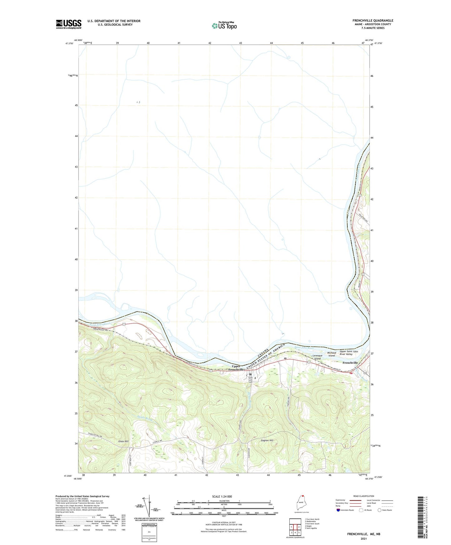
2024 topographic map quadrangle Frenchville in the state of Maine. Scale: 1:24000. Based on the newly updated USGS 7.5' US Topo map series, this map is in the following counties: Aroostook. The map contains contour data, water features, and other items you are used to seeing on USGS maps, but also has updated roads and other features. This is the next generation of topographic maps. Printed on high-quality waterproof paper with UV fade-resistant inks.
Quads adjacent to this one:
West: Fort Kent North
East: Madawaska
Southeast: Saint Agatha
South: Daigle
Southwest: Fort Kent South
This map covers the same area as the classic USGS quad with code o47068c4.
Contains the following named places: Burgoin Brook, Daigle Brook, Dickey Brook, Doctor Levesque Elementary School, Frenchville, Frenchville Fire Department, Frenchville Post Office, Frenchville Snowmobile Club, Gagnon Brook, Gagnon Hill, Gilman Siding, Glass Hill, Grant School, Green Water Tank Historical Museum and Caboose, Jefferson School, Levesque Island, Lincoln School, Michaud Island, Saint John Valley Technology Center School, Saint Luce Cemetery, Saint Luce Church, Saint Luce Station, Town of Frenchville, Upper Frenchville, Upper Frenchville Post Office, Valley Emergency Medical Services, Washington School, ZIP Code: 04745