MyTopo
Greenfield Maine US Topo Map
Couldn't load pickup availability
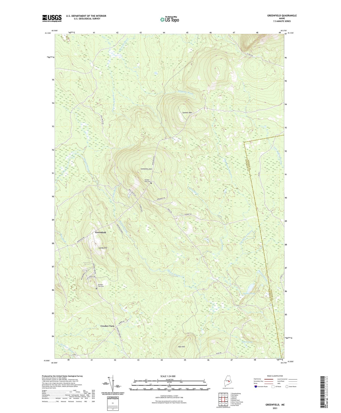
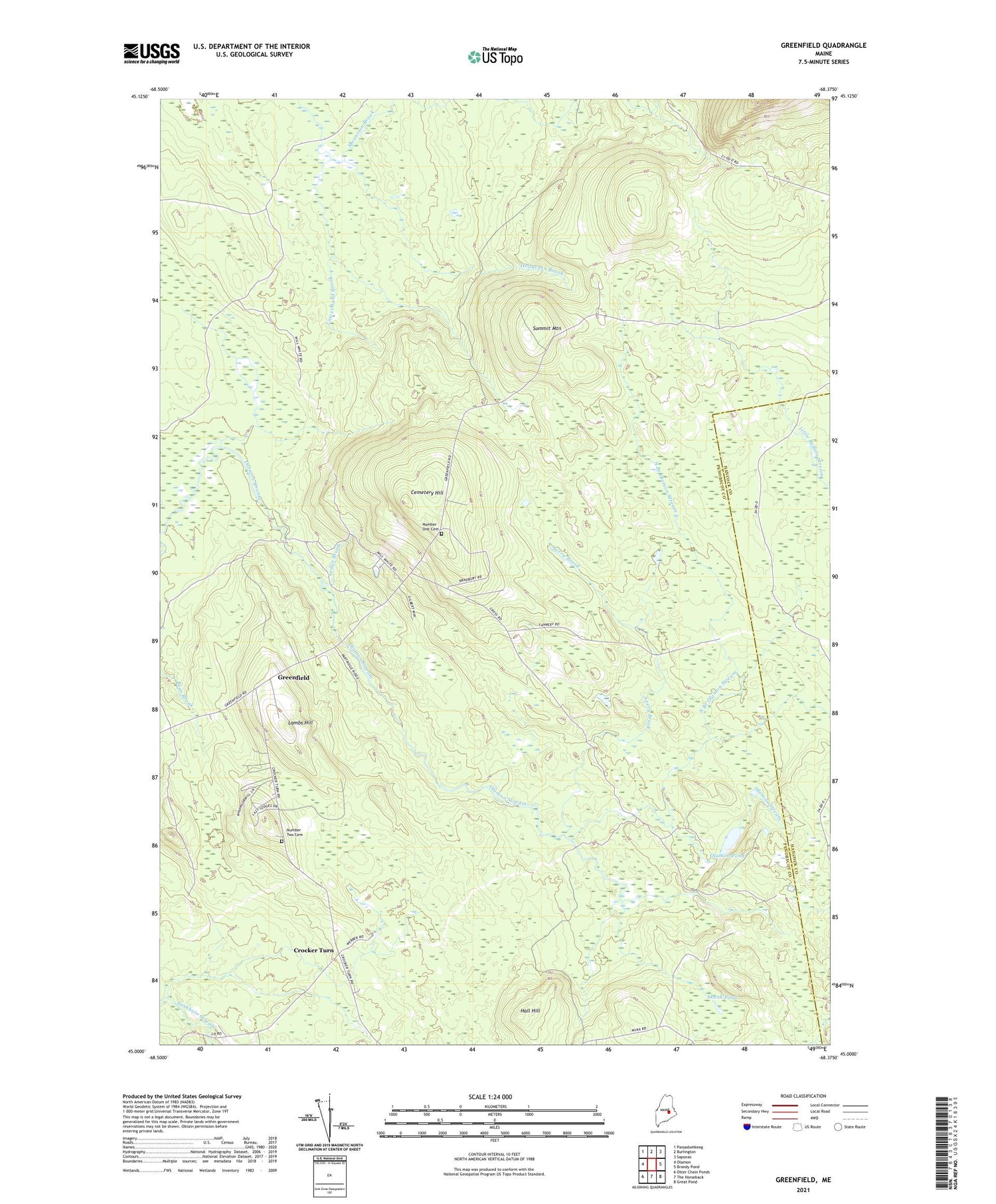
2021 topographic map quadrangle Greenfield in the state of Maine. Scale: 1:24000. Based on the newly updated USGS 7.5' US Topo map series, this map is in the following counties: Penobscot, Hancock. The map contains contour data, water features, and other items you are used to seeing on USGS maps, but also has updated roads and other features. This is the next generation of topographic maps. Printed on high-quality waterproof paper with UV fade-resistant inks.
Quads adjacent to this one:
West: Olamon
Northwest: Passadumkeag
North: Burlington
Northeast: Saponac
East: Brandy Pond
Southeast: Great Pond
South: The Horseback
Southwest: Otter Chain Ponds
Contains the following named places: Avery Brook, Cemetery Hill, Crocker Turn, Greenfield, Hall Hill, Hodgeson Brook, Lambs Hill, Ledge Brook, Mountain Brook, North Branch Olamon Stream, Number One Cemetery, Number Two Cemetery, Olamon Pond, School Number 1, Skunk Pond, Stony Brook, Summit Mountain, Township of Greenfield, Unorganized Territory of East Central Penobscot, ZIP Code: 04418