MyTopo
Burlington Maine US Topo Map
Couldn't load pickup availability
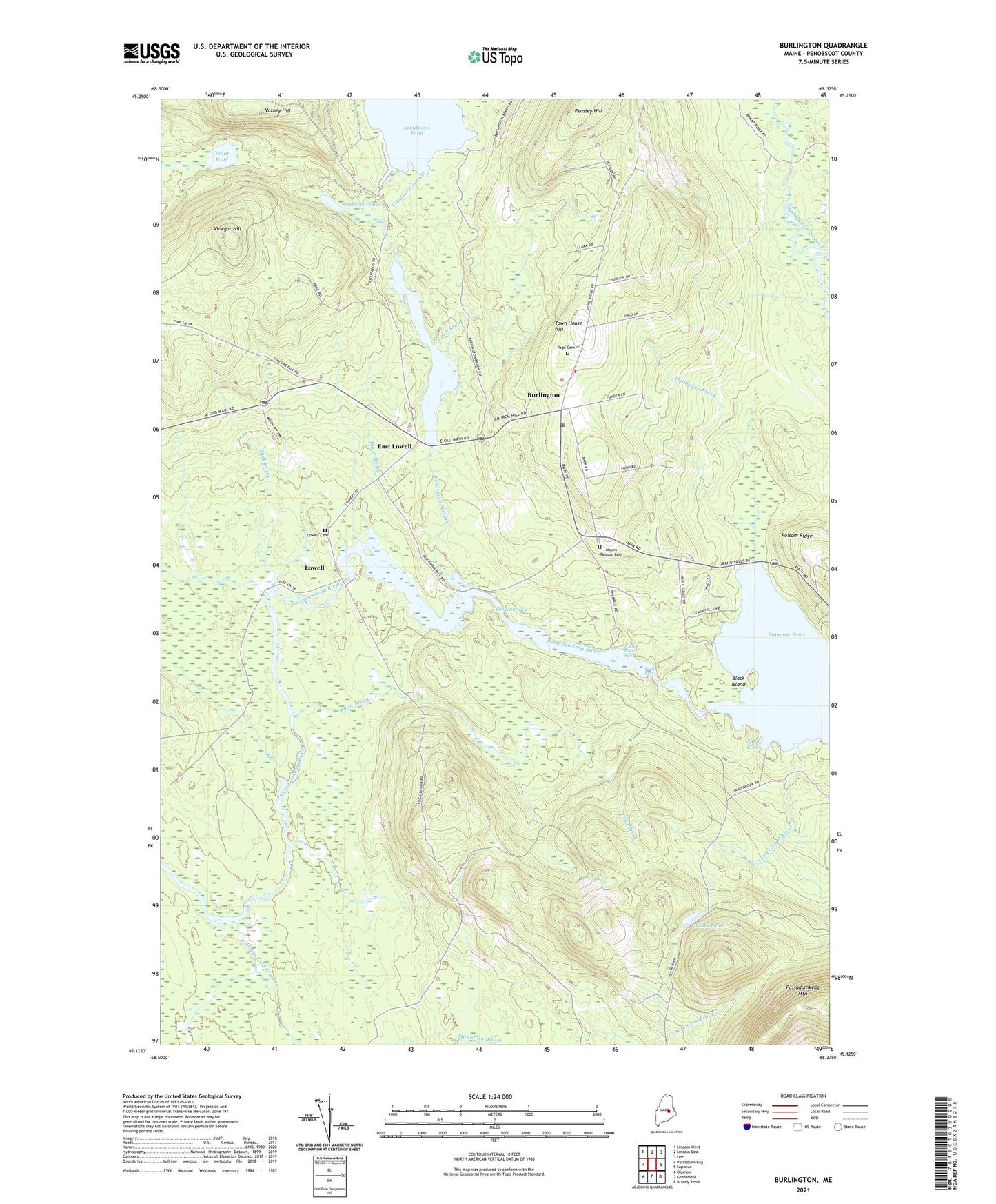
2024 topographic map quadrangle Burlington in the state of Maine. Scale: 1:24000. Based on the newly updated USGS 7.5' US Topo map series, this map is in the following counties: Penobscot. The map contains contour data, water features, and other items you are used to seeing on USGS maps, but also has updated roads and other features. This is the next generation of topographic maps. Printed on high-quality waterproof paper with UV fade-resistant inks.
Quads adjacent to this one:
West: Passadumkeag
Northwest: Lincoln West
North: Lincoln East
Northeast: Lee
East: Saponac
Southeast: Brandy Pond
South: Greenfield
Southwest: Olamon
This map covers the same area as the classic USGS quad with code o45068b4.
Contains the following named places: Black Island, Buck Brook, Burlington, Burlington Post Office, Clark Brook, Corner School, Davis Brook, East Lowell, Eskutassis Stream, Eskutassis Stream Dam, Fogg Brook, Folsom Ridge, Gristmill Pond, Lowell, Lowell Cemetery, Lower Lord Brook, Lower Sand Brook, Mount Repose Cemetery, Oaks Bog Brook, Old Tavern, Page Cemetery, Peasley Hill, Pickerel Pond, Pond Rips, Sand Cove, Saponac Pond, Summit Township, The Narrows, Thompson Brook, Town House Hill, Town of Burlington, Town of Lowell, Trout Pond, Varney Hill, Vinegar Hill, White Horse Rips