MyTopo
Hamlin Maine US Topo Map
Couldn't load pickup availability
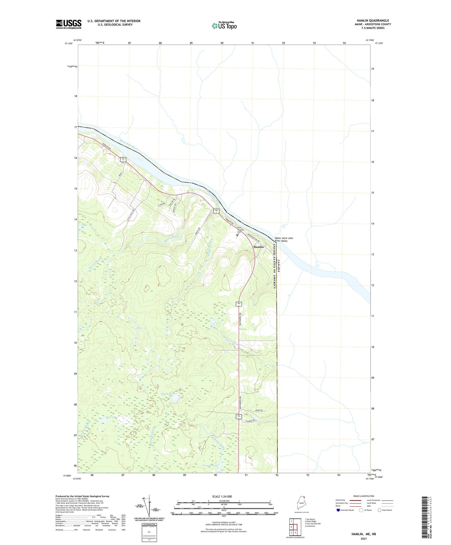
2024 topographic map quadrangle Hamlin in the state of Maine. Scale: 1:24000. Based on the newly updated USGS 7.5' US Topo map series, this map is in the following counties: Aroostook. The map contains contour data, water features, and other items you are used to seeing on USGS maps, but also has updated roads and other features. This is the next generation of topographic maps. Printed on high-quality waterproof paper with UV fade-resistant inks.
Quads adjacent to this one:
West: Doyle Ridge
Northwest: Van Buren
South: Limestone
Southwest: Fort Fairfield NW
This map covers the same area as the classic USGS quad with code o47067a7.
Contains the following named places: Berube School, Boney Brook, Deer Lake, Gerard Pond, Hamlin, Martin Brook, Mud Lake, Saint Joseph Church, Saint Josephs Cemetery, Sixmile Island, Town of Caswell, Upper Saint John River Valley