MyTopo
Hanford Maine US Topo Map
Couldn't load pickup availability
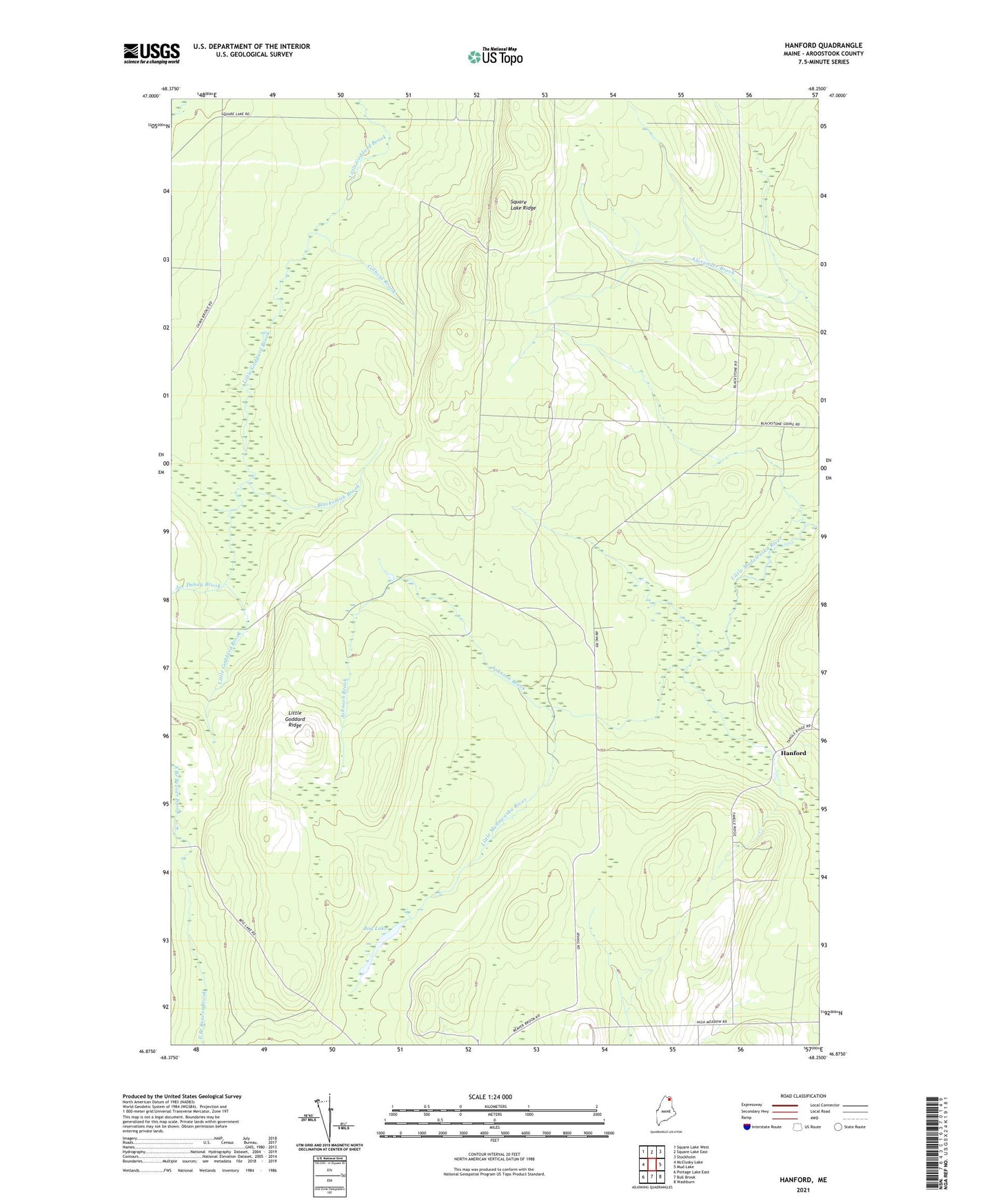
2024 topographic map quadrangle Hanford in the state of Maine. Scale: 1:24000. Based on the newly updated USGS 7.5' US Topo map series, this map is in the following counties: Aroostook. The map contains contour data, water features, and other items you are used to seeing on USGS maps, but also has updated roads and other features. This is the next generation of topographic maps. Printed on high-quality waterproof paper with UV fade-resistant inks.
Quads adjacent to this one:
West: McClusky Lake
Northwest: Square Lake West
North: Square Lake East
Northeast: Stockholm
East: Mud Lake
Southeast: Washburn
South: Bull Brook
Southwest: Portage Lake East
This map covers the same area as the classic USGS quad with code o46068h3.
Contains the following named places: Blacksmith Brook, Bog Lake, Collicut Brook, Dean Camp, Guerette Camp, Hanford, Joe Dubay Brook, Johnson Brook, Little Goddard Ridge, Old Shingle Mill, Square Lake Ridge, T14 R5 WELS, T15 R5 WELS