MyTopo
King And Bartlett Mountain Maine US Topo Map
Couldn't load pickup availability
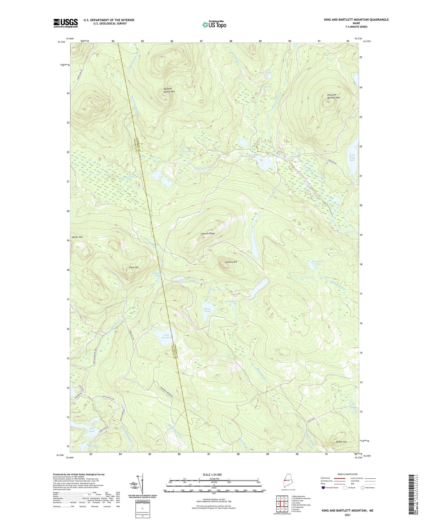
2021 topographic map quadrangle King And Bartlett Mountain in the state of Maine. Scale: 1:24000. Based on the newly updated USGS 7.5' US Topo map series, this map is in the following counties: Somerset, Franklin. The map contains contour data, water features, and other items you are used to seeing on USGS maps, but also has updated roads and other features. This is the next generation of topographic maps. Printed on high-quality waterproof paper with UV fade-resistant inks.
Quads adjacent to this one:
West: Jim Pond
Northwest: Kibby Mountain
North: Tumbledown Mountain
Northeast: Spencer Lake
East: King And Bartlett Lake
Southeast: The Horns
South: Stratton
Southwest: Tim Mountain
Contains the following named places: Black Brook, Butler Pond, Camera Hill, Camera Ridge, Chittenden Pond, Deer Pond, Everett Pond, Farm Hill, Felker Pond, Hurricane Brook, Jim Pond Brook, Joe Pokum Pond, Kibby Kamp, Kibby Stream, King and Bartlett Mountain, King and Bartlett Township, Little Jim Pond, Little King Lake, Long Pond, Lost Pond, Mud Pond, Otter Pond, Pickle Hill, Rush Pond, Spectacle Pond, Spencer Dam, Spencer Stream, Spencer Stream Dam, Spotted Spruce Mountain, The Chimes, Whit Brook