MyTopo
Little Machias Lake Maine US Topo Map
Couldn't load pickup availability
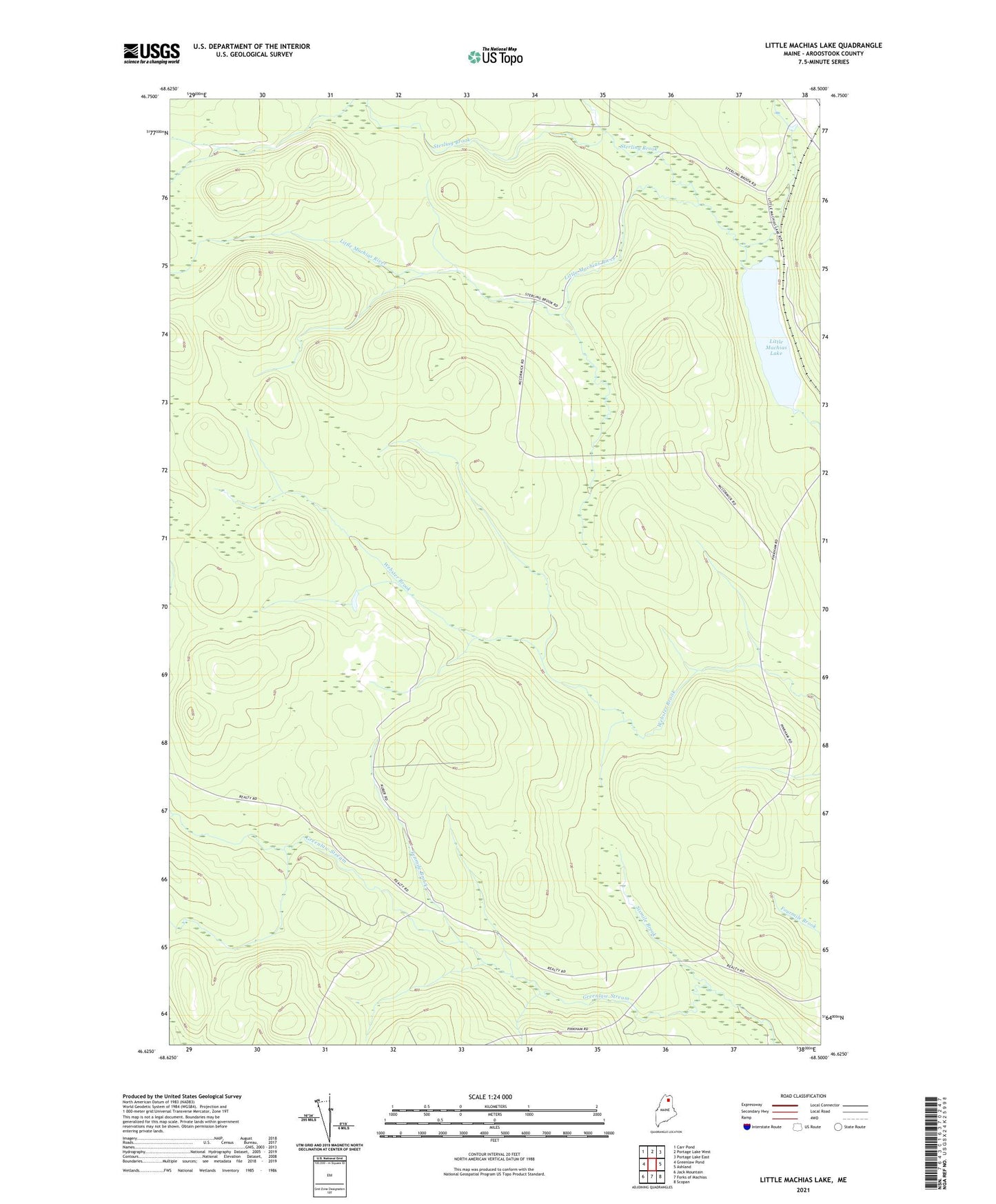
2024 topographic map quadrangle Little Machias Lake in the state of Maine. Scale: 1:24000. Based on the newly updated USGS 7.5' US Topo map series, this map is in the following counties: Aroostook. The map contains contour data, water features, and other items you are used to seeing on USGS maps, but also has updated roads and other features. This is the next generation of topographic maps. Printed on high-quality waterproof paper with UV fade-resistant inks.
Quads adjacent to this one:
West: Greenlaw Pond
Northwest: Carr Pond
North: Portage Lake West
Northeast: Portage Lake East
East: Ashland
Southeast: Scopan
South: Forks of Machias
Southwest: Jack Mountain
This map covers the same area as the classic USGS quad with code o46068f5.
Contains the following named places: Aroostook County, Elevenmile Camp, Little Machias Lake, Moosehorn Stream, Plantation of Nashville, Sixmile Brook, Sterling Brook, Tenmile Brook