MyTopo
Forks of Machias Maine US Topo Map
Couldn't load pickup availability
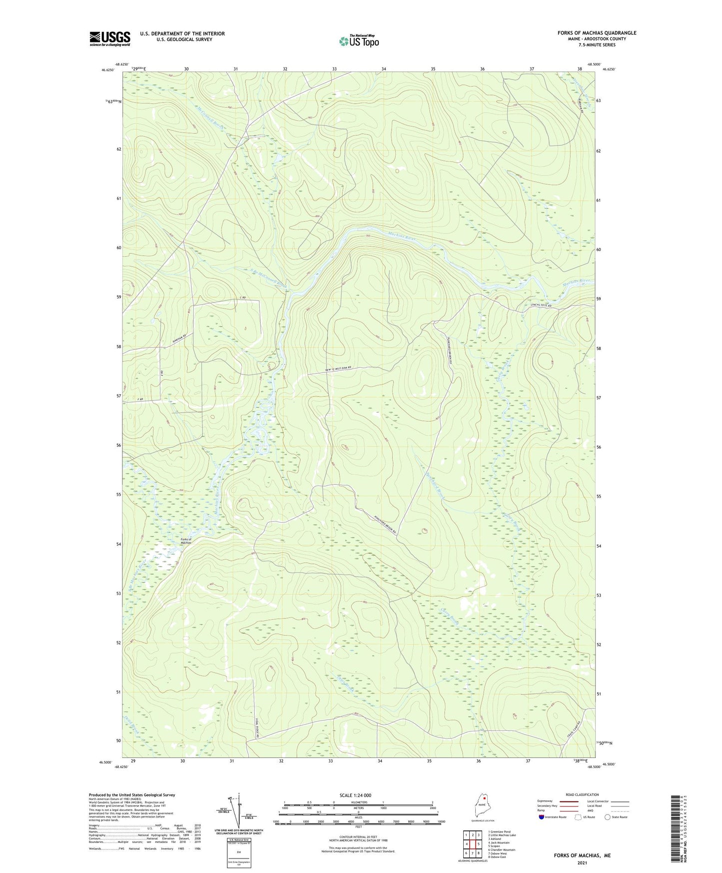
2024 topographic map quadrangle Forks of Machias in the state of Maine. Scale: 1:24000. Based on the newly updated USGS 7.5' US Topo map series, this map is in the following counties: Aroostook. The map contains contour data, water features, and other items you are used to seeing on USGS maps, but also has updated roads and other features. This is the next generation of topographic maps. Printed on high-quality waterproof paper with UV fade-resistant inks.
Quads adjacent to this one:
West: Jack Mountain
Northwest: Greenlaw Pond
North: Little Machias Lake
Northeast: Ashland
East: Scopan
Southeast: Oxbow East
South: Oxbow West
Southwest: Chandler Mountain
This map covers the same area as the classic USGS quad with code o46068e5.
Contains the following named places: Carry Brook, Carry Brook Camp, Forks of Machias, Grassy Landing, McConnell Brook, McQuarrie Brook, Pingree Camp, Pingree Pond, Punchard Brook, South Branch Machias River, South Branch McConnell Brook, Trafton Brook, V E Lynch Camp