MyTopo
Loon Bay Maine US Topo Map
Couldn't load pickup availability
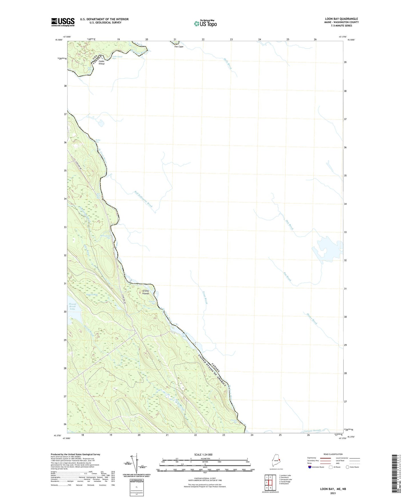
2024 topographic map quadrangle Loon Bay in the state of Maine. Scale: 1:24000. Based on the newly updated USGS 7.5' US Topo map series, this map is in the following counties: Washington. The map contains contour data, water features, and other items you are used to seeing on USGS maps, but also has updated roads and other features. This is the next generation of topographic maps. Printed on high-quality waterproof paper with UV fade-resistant inks.
Quads adjacent to this one:
West: Simsquish Lake
Northwest: Lambert Lake
North: Vanceboro
South: Kelleyland
Southwest: Tomah Ridge
This map covers the same area as the classic USGS quad with code o45067d4.
Contains the following named places: Canoose Rips, Cedar Island, Cedar Island Rips, Crocker Camp, Ellen Brook, Grassy Islands, Haycock Bog, Haycock Rips, Loon Bay, Meetinghouse Rips, Rocky Rips, Simsquish Brook, Split Rock Rips, Tyler Rips