MyTopo
Picard Brook Maine US Topo Map
Couldn't load pickup availability
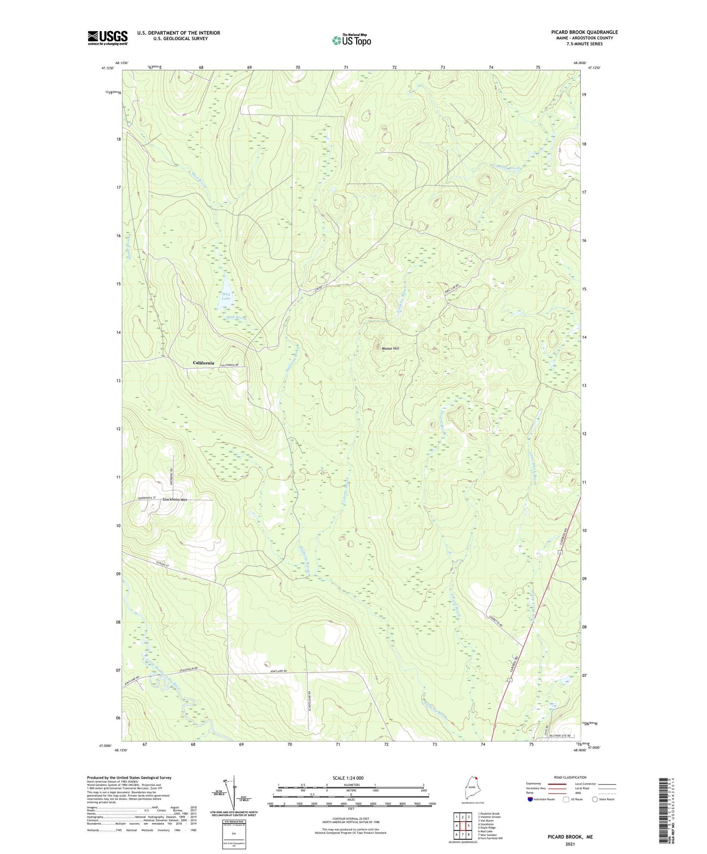
2024 topographic map quadrangle Picard Brook in the state of Maine. Scale: 1:24000. Based on the newly updated USGS 7.5' US Topo map series, this map is in the following counties: Aroostook. The map contains contour data, water features, and other items you are used to seeing on USGS maps, but also has updated roads and other features. This is the next generation of topographic maps. Printed on high-quality waterproof paper with UV fade-resistant inks.
Quads adjacent to this one:
West: Stockholm
Northwest: Paulette Brook
North: Violette Stream
Northeast: Van Buren
East: Doyle Ridge
Southeast: Fort Fairfield NW
South: New Sweden
Southwest: Mud Lake
This map covers the same area as the classic USGS quad with code o47068a1.
Contains the following named places: Bearsley Brook, California, Collins Siding, Jemtland Station, Moose Hill, Moose Pond, Mud Lake, Stockholm Mountain, Town of Stockholm, Violette Brook