MyTopo
Saponac Maine US Topo Map
Couldn't load pickup availability
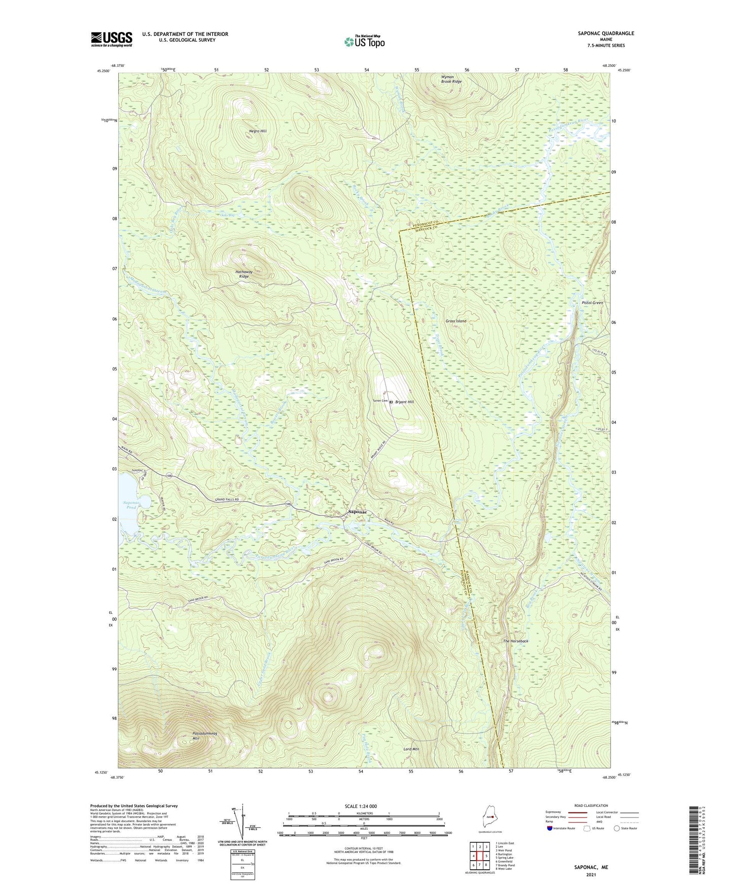
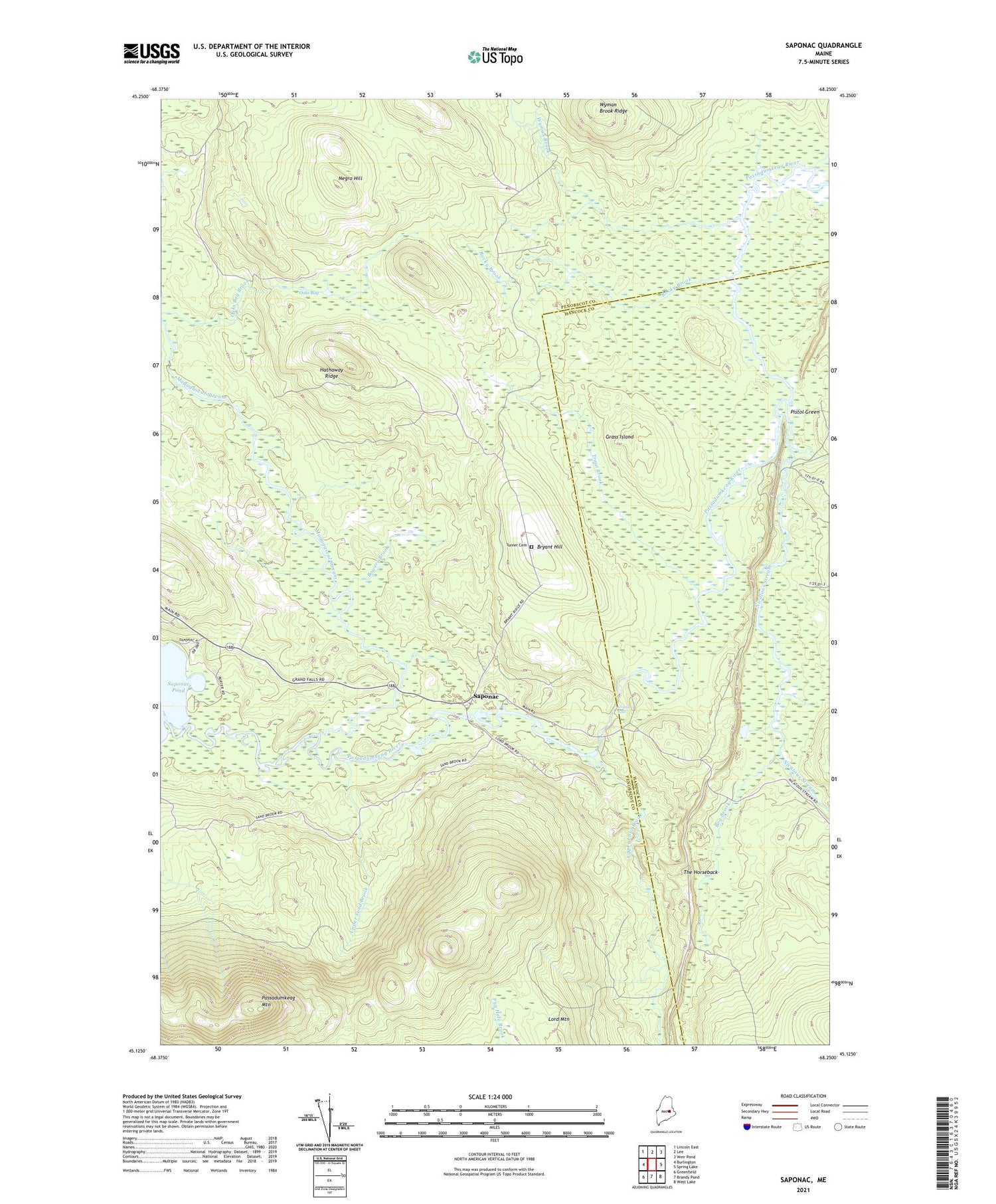
2021 topographic map quadrangle Saponac in the state of Maine. Scale: 1:24000. Based on the newly updated USGS 7.5' US Topo map series, this map is in the following counties: Penobscot, Hancock. The map contains contour data, water features, and other items you are used to seeing on USGS maps, but also has updated roads and other features. This is the next generation of topographic maps. Printed on high-quality waterproof paper with UV fade-resistant inks.
Quads adjacent to this one:
West: Burlington
Northwest: Lincoln East
North: Lee
Northeast: Weir Pond
East: Spring Lake
Southeast: West Lake
South: Brandy Pond
Southwest: Greenfield
Contains the following named places: Bog Brook, Bowers Brook, Bryant Hill, Grand Falls, Grand Falls Township, Grass Island, Hathaway Ridge, Madagascal Stream, Negro Hill, Nicatous Stream, Oaks Bog, Passadumkeag Mountain, Pistol Green, Pistol Stream, Rocky Brook, Saponac, The Horseback, Trout Brook, Turner Cemetery, Upper Lord Brook, Upper Sand Brook, WHCF-FM (Bangor), Wheeler Brook, Wyman Brook, Wyman Brook Ridge, ZIP Code: 04417