
MyTopo
Tomah Mountain Maine US Topo Map
Couldn't load pickup availability
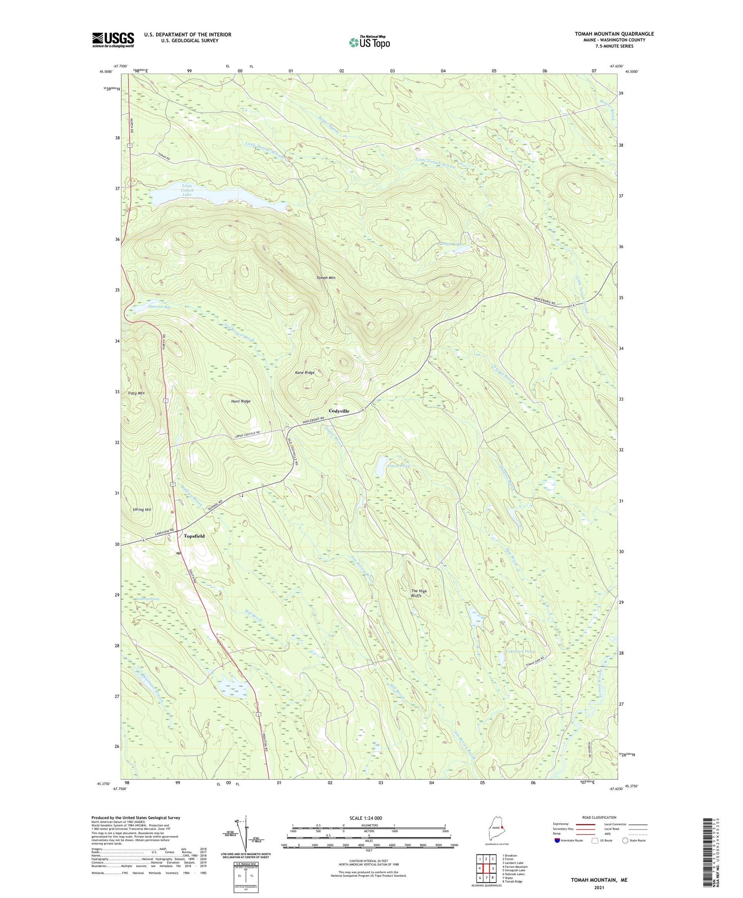
2021 topographic map quadrangle Tomah Mountain in the state of Maine. Scale: 1:24000. Based on the newly updated USGS 7.5' US Topo map series, this map is in the following counties: Washington. The map contains contour data, water features, and other items you are used to seeing on USGS maps, but also has updated roads and other features. This is the next generation of topographic maps. Printed on high-quality waterproof paper with UV fade-resistant inks.
Quads adjacent to this one:
West: Farrow Mountain
Northwest: Brookton
North: Forest
Northeast: Lambert Lake
East: Simsquish Lake
Southeast: Tomah Ridge
South: Waite
Southwest: Oxbrook Lakes
Contains the following named places: Barter Brook, Butcher Lake, Codyville, Deadman Stream, East Range Two Consolidated School, Hill Brook, Hunt Ridge, Kane Ridge, Lathrop Heath, Lindsey Brook, Little Tomah Lake, Loring Hill, Malcome Bog, Plantation of Codyville, Simon Pond, Taylor Brook, The High Bluffs, Tomah Mountain, Topsfield, Topsfield Post Office, Topsfield Volunteer Fire Department, Unknown Pond


