MyTopo
Duxbury OE E Massachusetts US Topo Map
Couldn't load pickup availability
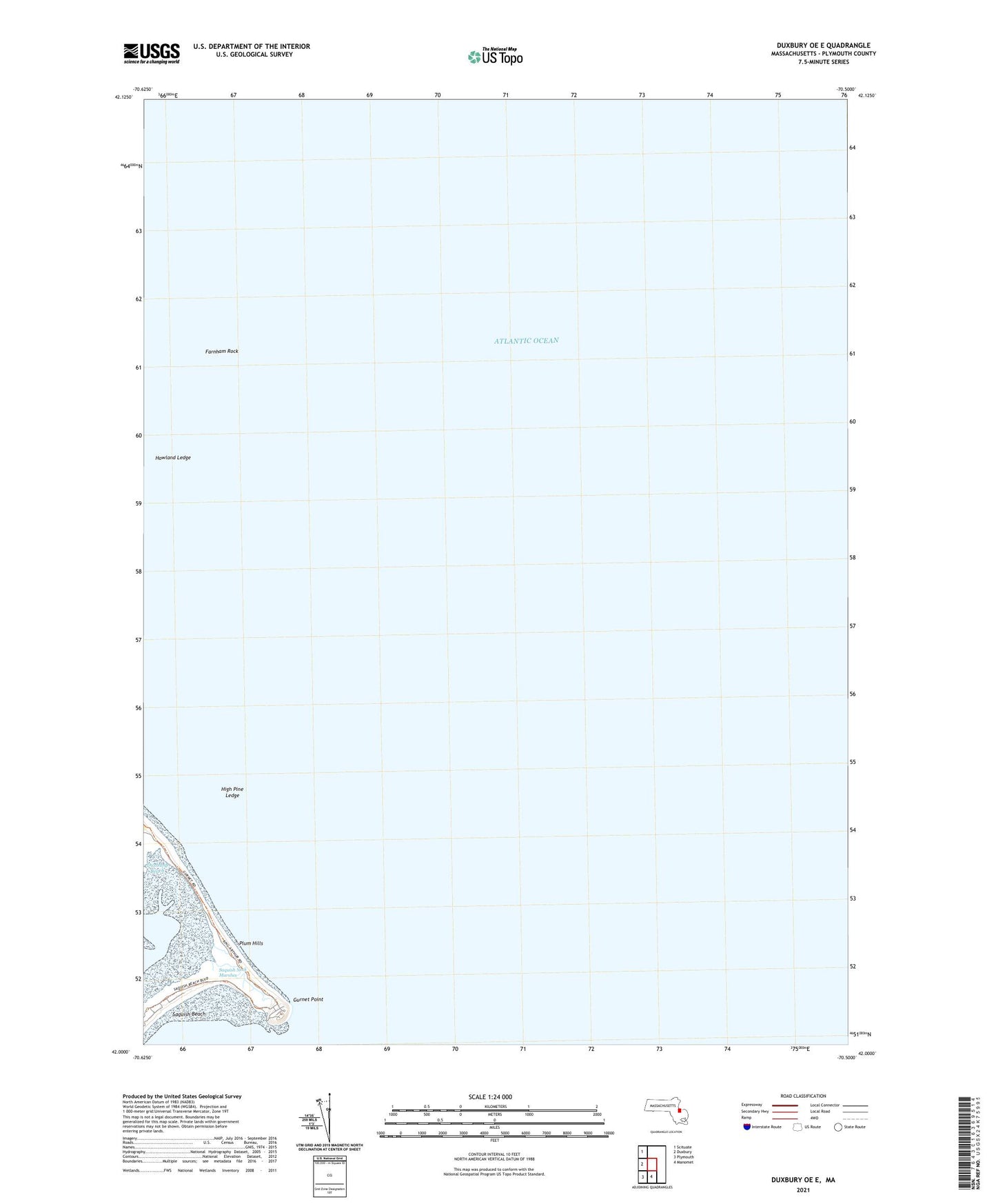
2024 topographic map quadrangle Duxbury OE E in the state of Massachusetts. Scale: 1:24000. Based on the newly updated USGS 7.5' US Topo map series, this map is in the following counties: Plymouth. The map contains contour data, water features, and other items you are used to seeing on USGS maps, but also has updated roads and other features. This is the next generation of topographic maps. Printed on high-quality waterproof paper with UV fade-resistant inks.
Quads adjacent to this one:
West: Duxbury
Northwest: Scituate
South: Manomet
Southwest: Plymouth
Contains the following named places: Farnham Rock, Gurnet Point, Gurnet Rock, High Pine Ledge, Howland Ledge, Plum Hills, Plymouth Light, Plymouth Lighthouse, Saquish Beach, Saquish Neck, Saquish Neck Marshes