MyTopo
Head of Westport OE S Massachusetts US Topo Map
Couldn't load pickup availability
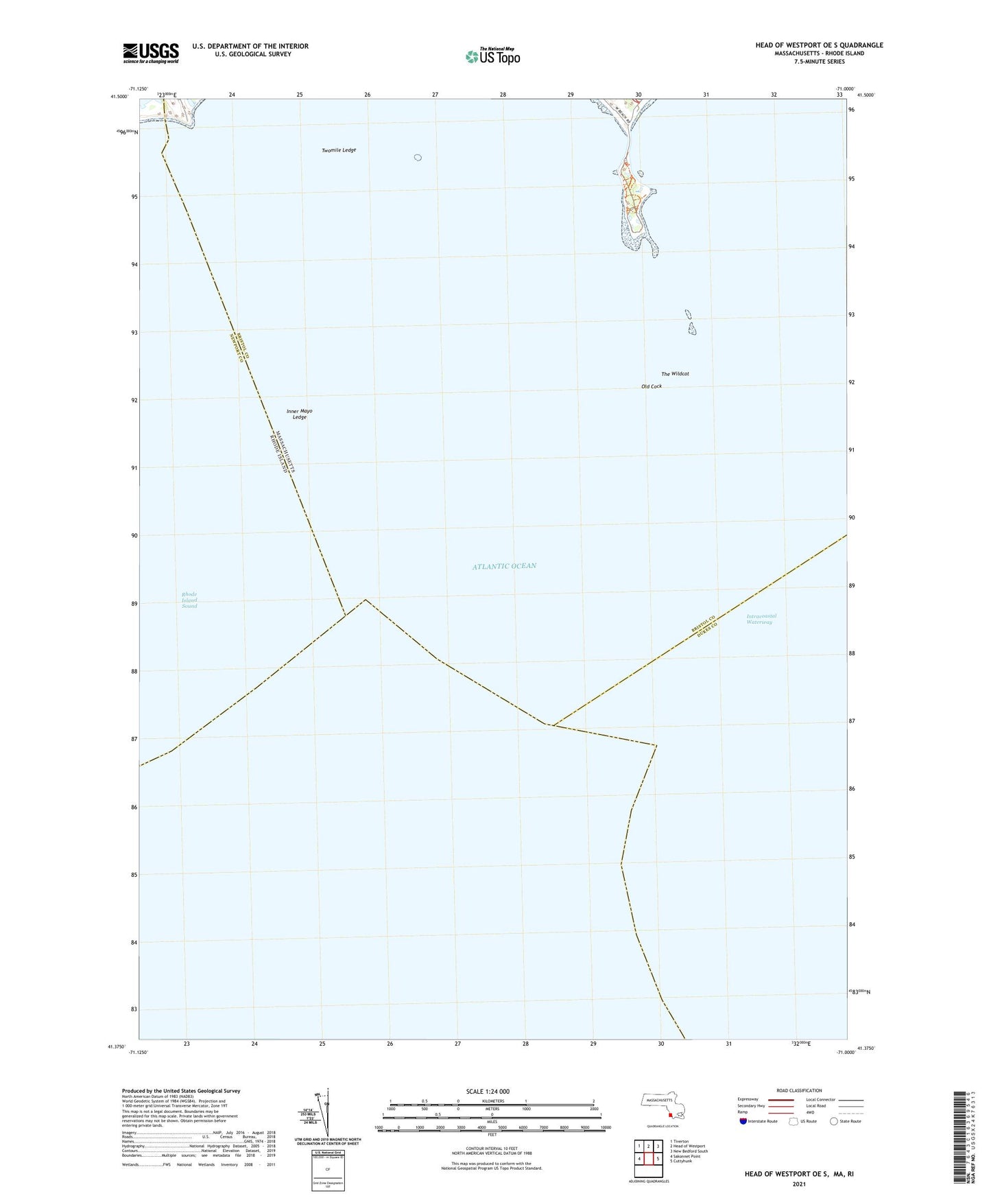
2024 topographic map quadrangle Head of Westport OE S in the state of Massachusetts. Scale: 1:24000. Based on the newly updated USGS 7.5' US Topo map series, this map is in the following counties: Bristol, Dukes, Newport. The map contains contour data, water features, and other items you are used to seeing on USGS maps, but also has updated roads and other features. This is the next generation of topographic maps. Printed on high-quality waterproof paper with UV fade-resistant inks.
Quads adjacent to this one:
West: Sakonnet Point
Northwest: Tiverton
North: Head of Westport
Northeast: New Bedford South
East: Cuttyhunk
Contains the following named places: Bar Rock, Briggs Rock, Browing Ledge, Buzzards Bay Entrance Light, Chickadee Ledge, Flat Rock, Gooseberry Neck, Gumbys Head, Hen and Chickens, Hicks Rock, Inner Church Ledge, Inner Mayo Ledge, Joe Burris Ledge, Kibby Ground, Little South West Rock, Long Rock, Lumber Rock, Markham Ledge, Newet Rocks, Old Cock, Old Whale Rock, Palmer Ledge, Pinetree Ground, Quicksand Point, South West Rock, The Wildcat, Tripp Ledge, Twomile Ledge, Twomile Rock