MyTopo
Marblehead South Massachusetts US Topo Map
Couldn't load pickup availability
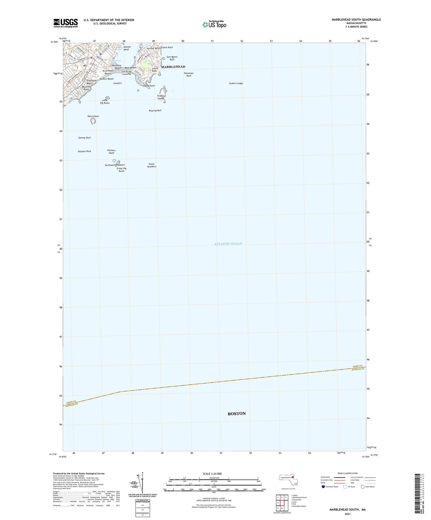
2024 topographic map quadrangle Marblehead South in the state of Massachusetts. Scale: 1:24000. Based on the newly updated USGS 7.5' US Topo map series, this map is in the following counties: Essex, Suffolk. The map contains contour data, water features, and other items you are used to seeing on USGS maps, but also has updated roads and other features. This is the next generation of topographic maps. Printed on high-quality waterproof paper with UV fade-resistant inks.
Quads adjacent to this one:
West: Lynn
Northwest: Salem
North: Marblehead North
Northeast: Gloucester
South: Nantasket Beach
Southwest: Hull
Contains the following named places: Abbott Public Library, Alley Hospital, Audubon Bird Sanctuary, Back Beach, Castle Rock, Cohen Hillel Academy, Cowfort, Davereux Rocks, Devereux Beach, Devereux Station, Dolphin Rock, Dolphin Yacht Club, Eastern Yacht Club, Flying Point, Garmet Beach, Goldthwait Beach, Goldthwait Reservation, Great Neck, Great Pig Rocks, Greystone Beach, Hobbs Playground, Jewish Community Center, Jimmy Lanes Cove, Ladys Cove, Little Pig Rocks, Marblehead Census Designated Place, Marblehead Fire Department Station 1 Headquarters, Marblehead High School, Marblehead Police Department, Marblehead Post Office, Marblehead Veterans Middle School, Nanepashemet Post Office, Outer Breakers, Pitchers Shoal, Ram Island, Riverhead Beach, Roaring Bull, S Hobbs Memorial School, Saint Stephens Methodist Church, Sammy Rock, Seaside Park, Skinner Head, Southwest Breakers, Star of the Sea Catholic Church, Star of the Sea School, Stephen Phillips Library, Temple Sinai, The Bridge Causeway, Tinkers Island, Tinkers Ledge, Tom Moore Rock, Town of Marblehead, Tuckers Beach, Volunteer Rock