MyTopo
Sandwich OE N Massachusetts US Topo Map
Couldn't load pickup availability
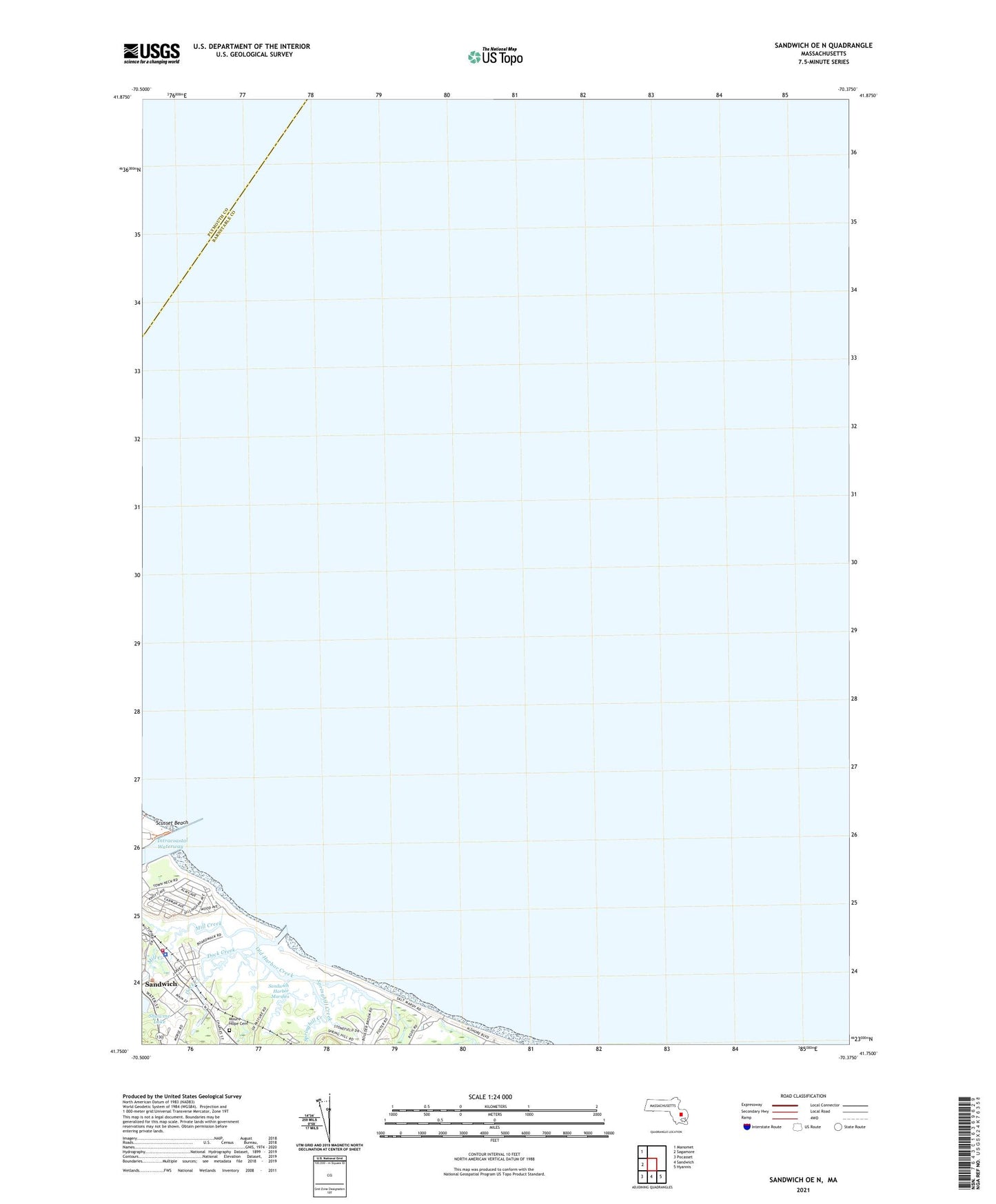
2024 topographic map quadrangle Sandwich OE N in the state of Massachusetts. Scale: 1:24000. Based on the newly updated USGS 7.5' US Topo map series, this map is in the following counties: Barnstable, Plymouth. The map contains contour data, water features, and other items you are used to seeing on USGS maps, but also has updated roads and other features. This is the next generation of topographic maps. Printed on high-quality waterproof paper with UV fade-resistant inks.
Quads adjacent to this one:
West: Sagamore
Northwest: Manomet
Southeast: Hyannis
South: Sandwich
Southwest: Pocasset
Contains the following named places: Cape Cod Canal Breakwater Light, Daniel Webster Inn, Dock Creek, East Sandwich Beach, Henry T Wing School, Massachusetts State Fish Hatchery, Mill Creek, Mount Hope Cemetery, Old Harbor Creek, Sandwich, Sandwich Census Designated Place, Sandwich Fire Department Station 1, Sandwich Glass Museum, Sandwich Harbor, Sandwich Harbor Marshes, Sandwich Police Department, Scorton Ledge, Scusset Harbor, Springhill Beach, Springhill Brook, Springhill Creek, The Congregational Church, The Old Hokie House, Town Beach, Town Neck, Town Neck Hill, Wing Family House, Yesteryears Doll Museum