MyTopo
Westhampton Massachusetts US Topo Map
Couldn't load pickup availability
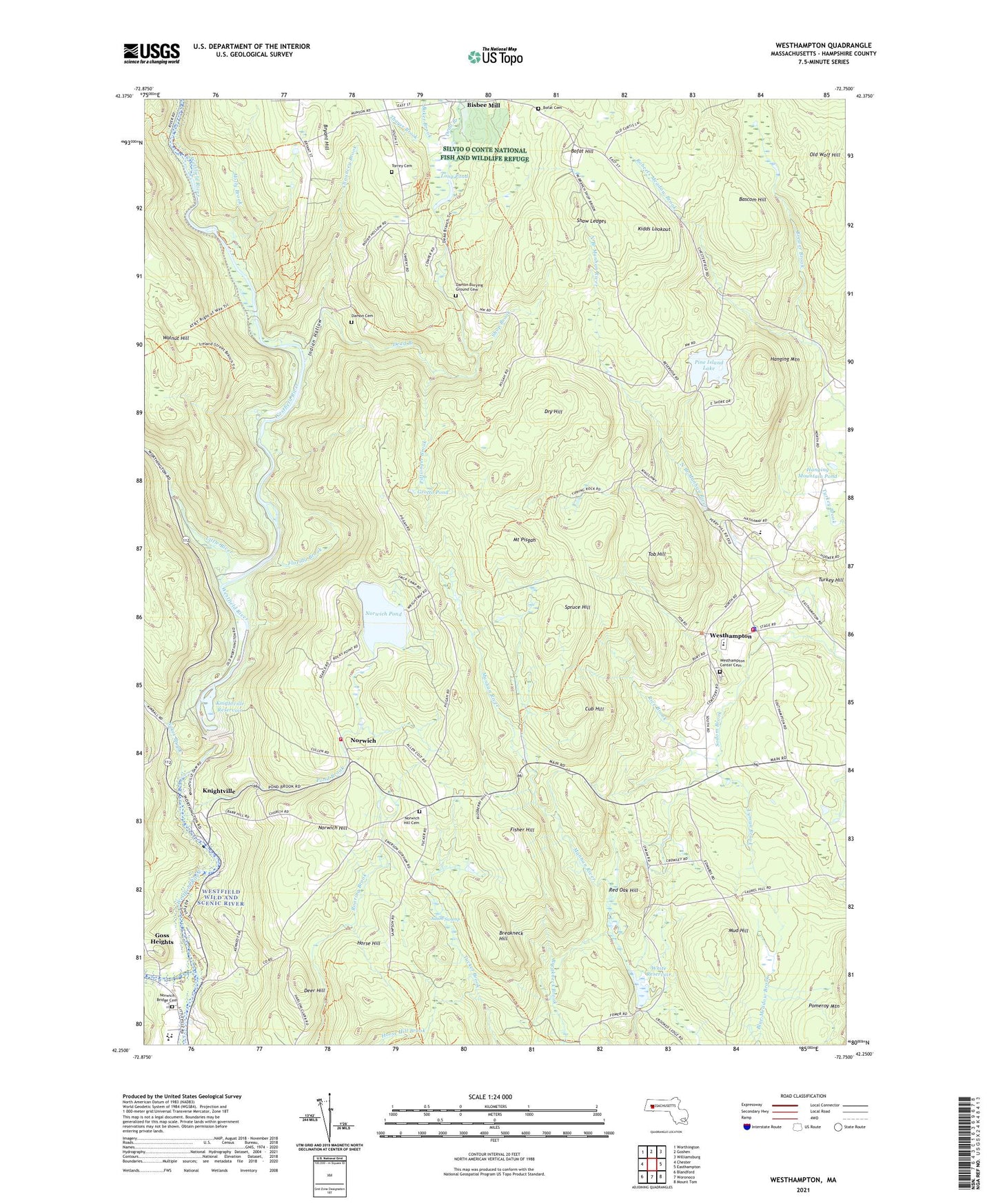
2024 topographic map quadrangle Westhampton in the state of Massachusetts. Scale: 1:24000. Based on the newly updated USGS 7.5' US Topo map series, this map is in the following counties: Hampshire. The map contains contour data, water features, and other items you are used to seeing on USGS maps, but also has updated roads and other features. This is the next generation of topographic maps. Printed on high-quality waterproof paper with UV fade-resistant inks.
Quads adjacent to this one:
West: Chester
Northwest: Worthington
North: Goshen
Northeast: Williamsburg
East: Easthampton
Southeast: Mount Tom
South: Woronoco
Southwest: Blandford
Contains the following named places: Adam Swamp, Baker Brook, Bascom Hill, Bisbee Mill, Bofat Cemetery, Bofat Hill, Breakneck Hill, Brewer Brook, Bryant Hill, Camp Norwich, Chauncey Brook, Cub Hill, Damon Cemetery, Dead Branch, Deer Hill, Dry Hill, Fisher Hill, Florida Brook, Gardner State Park, Gateway Learning Resource Center, Gateway Regional High School, Gateway Regional Middle School, Goss Heights, Grotto Pond, Hampshire Regional High School, Hanging Mountain, Hanging Mountain Pond, Holly Brook, Horse Hill, Huntington Fire Department, Huntington State Forest, Indian Hollow, Kidds Lookout, Knightville, Knightville Dam, Knightville Reservoir, Little River, Long Pond, Lyman Brook, Middle Branch Westfield River, Mount Pisgah, Mud Hill, Norwich, Norwich Bridge Cemetery, Norwich Hill, Norwich Pond, Old Wolf Hill, Outlook Farm, Pine Island Lake, Pine Island Lake Dam, Pittsinger Brook, Pond Brook, Red Oak Hill, Rice Brook, Shaw Ledges, Shop Brook, Sodom Brook, Spring Trail, Spruce Hill, Sykes Brook, Thayer Brook, Tob Hill, Torrey Cemetery, Town of Huntington, Town of Westhampton, Walnut Hill, Westhampton, Westhampton Fire Department, Westhampton Memorial Library, Westhampton Police Department, Westhampton Town Hall, White Reservoir, White Reservoir Dam, ZIP Codes: 01027, 01050


