MyTopo
Easthampton Massachusetts US Topo Map
Couldn't load pickup availability
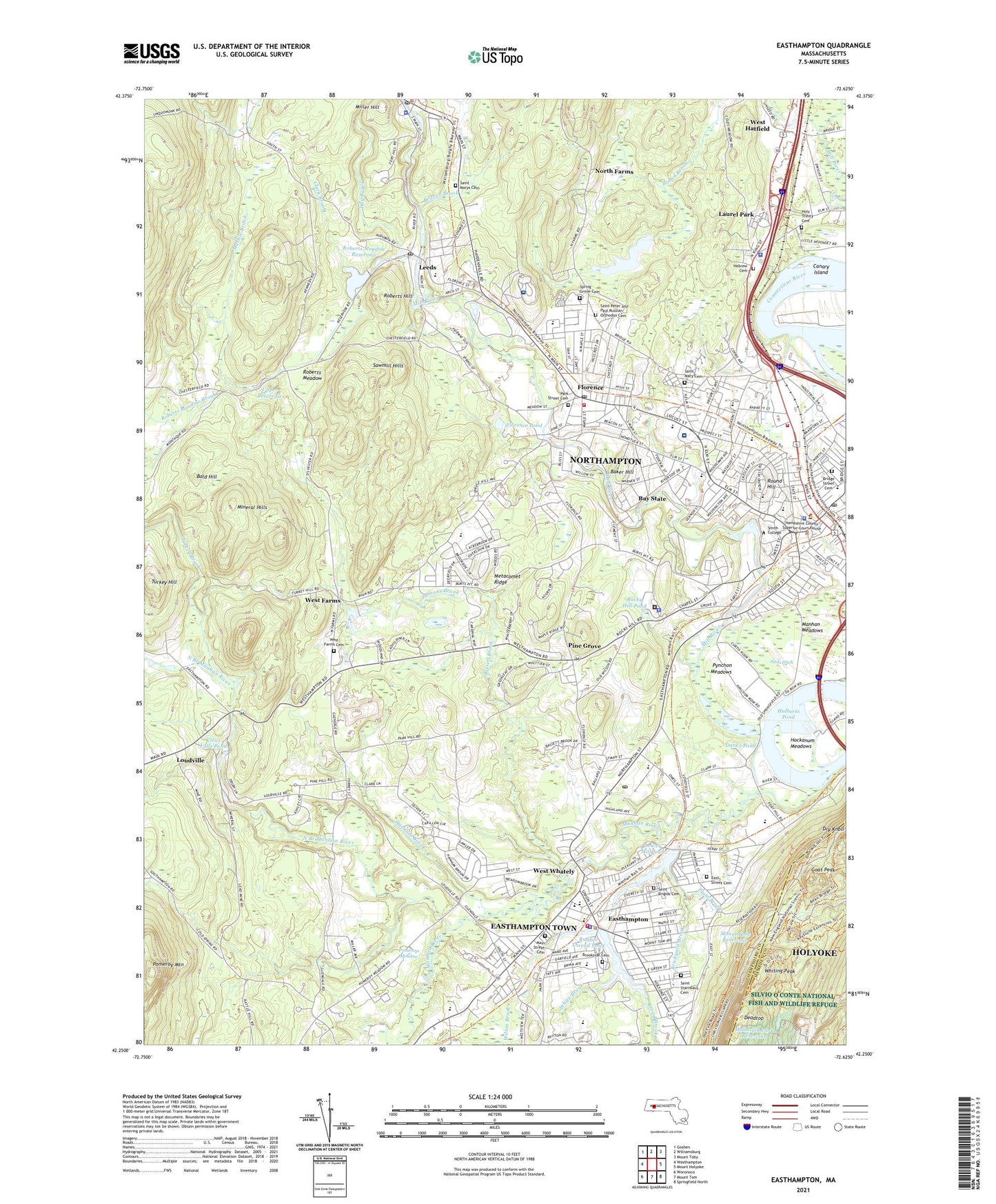
2024 topographic map quadrangle Easthampton in the state of Massachusetts. Scale: 1:24000. Based on the newly updated USGS 7.5' US Topo map series, this map is in the following counties: Hampshire, Hampden. The map contains contour data, water features, and other items you are used to seeing on USGS maps, but also has updated roads and other features. This is the next generation of topographic maps. Printed on high-quality waterproof paper with UV fade-resistant inks.
Quads adjacent to this one:
West: Westhampton
Northwest: Goshen
North: Williamsburg
Northeast: Mount Toby
East: Mount Holyoke
Southeast: Springfield North
South: Mount Tom
Southwest: Woronoco
This map covers the same area as the classic USGS quad with code o42072c6.
Contains the following named places: Academy of Music, Ainsworth Gymnasium, Alumnae Gymnasium, Alumnae House, Annunciation School, Arcadia Sanctuary, Baker Hill, Bald Hill, Bass Hall, Bassett Brook, Bay State, Beaver Brook, Brickyard Brook, Bridge Street Cemetery, Bridge Street School, Broad Brook, Brookside Cemetery, Burnham School, Burton Hall, Canary Island, Capen Annex, Center School, Childs Park, City of Easthampton Town, City of Northampton, Clark Brook, Clark School for the Deaf, Clear Falls Pond, College Hall, Commercial College, Connecticut River Watershed Council Library, Conway Gazebo, Cooley Dickinson Hospital, Danks Pond, Davis Student Center, Day Brook, Deadtop, Department of Veterans Affairs Medical Center Library, Dewey Hall, Drew Hall, Dry Knoll, East Street Cemetery, Easthampton, Easthampton City Hall, Easthampton Fire Department, Easthampton High School, Easthampton High School Library, Easthampton Junior High School, Easthampton Police Department, Easthampton Post Office, Easthampton Town Hall, Emily Williston Memorial Library and Museum, Feiker School, Field House, Florence, Florence Plaza, Florence Plaza Shopping Center, Florence Pond, Florence Post Office, Forbes Library, Fort Hill Historic District, Garrison House, Gill Hall, Goat Peak, Graham Hall, Hamp Plaza, Hampshire County, Hampshire County Courthouse, Hampshire County Long Term Care Facility, Hampshire County Sanatorium, Hampshire Law Library, Hannum Brook, Hatfield Hall, Hawley School, Haydenville Post Office, Hebrew Cemetery, Hill and Dale Mall, Hill and Dale Mall Shopping Center, Hill Institute, Hilltown Cooperative School, Hilyer Hall, Historic Northampton Archives and Library, Hockanum Meadows, Holy Trinity Cemetery, Hulberts Pond, Japanese Garden and Tea Hut, John F Kennedy Junior High School, John M Greene Hall, Kearney Field, Kingsgate Mall, Kingsgate Plaza Shopping Center, Laurel Park, Leeds, Leeds Elementary School, Leeds Post Office, Lilly Library, Lily Hall, Look Memorial Park, Loudville, Lower Millpond, Lower Millpond Dam, Lyman Point House, Main Street Cemetery, Main Street Historic District, Maines Field, Manhan Meadows, Manhan River Dam, Manhan River Reservoir, Maple Street School, Marble Brook, Mason Infirmary, McConnell Hall, Mendenhall Center, Mill River, Mill River Dam, Mill River Diversion, Mill River Diversion Reservoir, Mill River Reservoir, Miller Hill, Mineral Hills, Montessori School of Northampton, Mount Tom Reservoir, Mount Tom State Reservation, Mountain Park Reservoir, Nashawannuck Pond, Nashawannuck Pond Dam, Neds Ditch, Neil A Pepin School, Nonotuck Park, North Branch Manhan River, North Farms, Northampton, Northampton Center for the Arts, Northampton Chamber of Commerce, Northampton City Hall, Northampton Country Club, Northampton Developmental School, Northampton Downtown Historic District, Northampton Fire Department Station 1, Northampton Fire Department Station 2 - Florence, Northampton High School, Northampton Historical Society Building, Northampton Industrial Park, Northampton Junior High School, Northampton Place Shopping Center, Northampton Police Department, Northampton Post Office, Northampton Veterans Affairs Medical Center, Notre Dame School, Paradise Pond, Paradise Pond Dam, Park Hill Orchard, Park School, Park Street Cemetery, Parsons Brook, Parsons Street School, Pierce Hall, Pine Grove, Pine Grove Golf Course, Plum Brook, Pomeroy Mountain, Pomeroys Meadow, Potpourri Shopping Center, Presidents House, Pynchon Meadows, Richard H Dolloff Medical Library, Robert K Finn School, Roberts Hill, Roberts Meadow, Roberts Meadow Brook, Roberts Meadow Reservoir, Rocky Hill Pond, Rocky Hill Pond Dam, Round Hill, Rubber Thread Pond, Running Gutter, Sabin-Reed Hall, Sacred Heart School, Sage Hall, Saint Brigids Cemetery, Saint Mary Cemetery, Saint Marys Cemetery, Saint Michaels School, Saint Peter and Paul Russian Orthodox Cemetery, Saint Stanislaus Cemetery, Sawmill Hills, Scott Gymnasium, Seelye Hall, Smith College, Smith College Admissions Office, Smith College Libraries, Smith Vocational and Agricultural School, Solomon Schechter Day School of the Pioneer Valley, South Street School, Spring Grove Cemetery, Stoddard Hall, Sunnyside Day Care, The Gables, The Oxbow, Thornes Market Place Shopping Center, Tily Hall, Tryon Hall, Turkey Brook, Turkey Hill, Tyler Annex, Unity House, Upper Reservoir, Vernon Street School, Vistron Dam, WEFI-AM (Easthampton), WEIB-FM (Northampton), West Farms, West Farms Cemetery, West Hatfield, West Whately, White Brook, White Brook Middle School, Whiting Peak, WHMP-AM (Northampton), WHMP-FM (Northampton), William Alan Neilson Library, Williamsburg Golf Club, Williamsburg Police Department, Williston Academy, Williston Northampton School, Williston-Northampton School, Wilton Brook, Words and Pictures Museum, WOZQ-FM (Northampton), Wright Hall, Young Science Library, ZIP Codes: 01053, 01060, 01062, 01063


