MyTopo
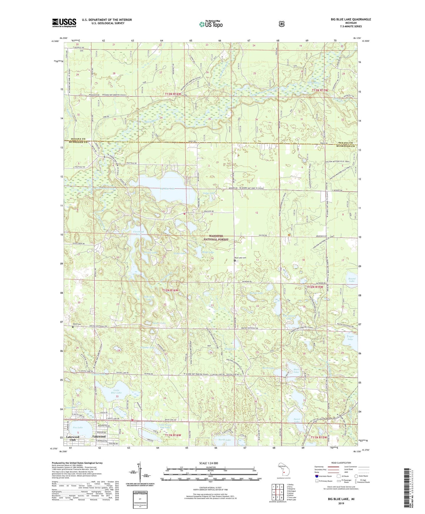
Big Blue Lake Michigan US Topo Map
Couldn't load pickup availability
Also explore the Big Blue Lake Forest Service Topo of this same quad for updated USFS data
2023 topographic map quadrangle Big Blue Lake in the state of Michigan. Scale: 1:24000. Based on the newly updated USGS 7.5' US Topo map series, this map is in the following counties: Muskegon, Oceana. The map contains contour data, water features, and other items you are used to seeing on USGS maps, but also has updated roads and other features. This is the next generation of topographic maps. Printed on high-quality waterproof paper with UV fade-resistant inks.
Quads adjacent to this one:
West: Montague
Northwest: Shelby
North: Ferry
Northeast: Hesperia
East: Holton
Southeast: Wolf Lake
South: Twin Lake
Southwest: Dalton
This map covers the same area as the classic USGS quad with code o43086d2.
Contains the following named places: Baxter Lake, Big Blue Lake, Big Blue Lake Chapel, Blue Lake Cemetery, Blue Lake County Park, Blue Lake Post Office, Blue Lake Township Fire Department, Blue Lake Township Fire Department Station 2, Britton Lake, Burns Lake, Camp Emery, Camp Hardy, Camp Pendalouah, Cleveland Creek, Cleveland Lake, Crystal Lake, Diamond Access Canoe Landing, Emmanuel Congregational Church, Ergang Lake, Fox Lake, Galys Lake, Goose Egg Lake, Grass Lake, Hart Lake, John Adams Lake, Johnson Campground, Lakewood, Little Blue Lake, Little Goose Egg Lake, Mayo Lake, Moore County Park, Nine Acre Lake, North Branch White River, North Lake, Oak Knoll Campground, Owasippe Post Office, Pine Island Lake, Round Lake, Saint Mary's of the Woods Parish, Sauger Lake, Sischo Bayou, Sischo Canoe landing, Skeel Creek, South Branch White River, Square Lake, Sweet Lake, Township of Blue Lake, Wave Cemetery, West Branch Cedar Creek, Wood Lake, Zion Church