MyTopo
Chippewa Point Michigan US Topo Map
Couldn't load pickup availability
Also explore the Chippewa Point Forest Service Topo of this same quad for updated USFS data
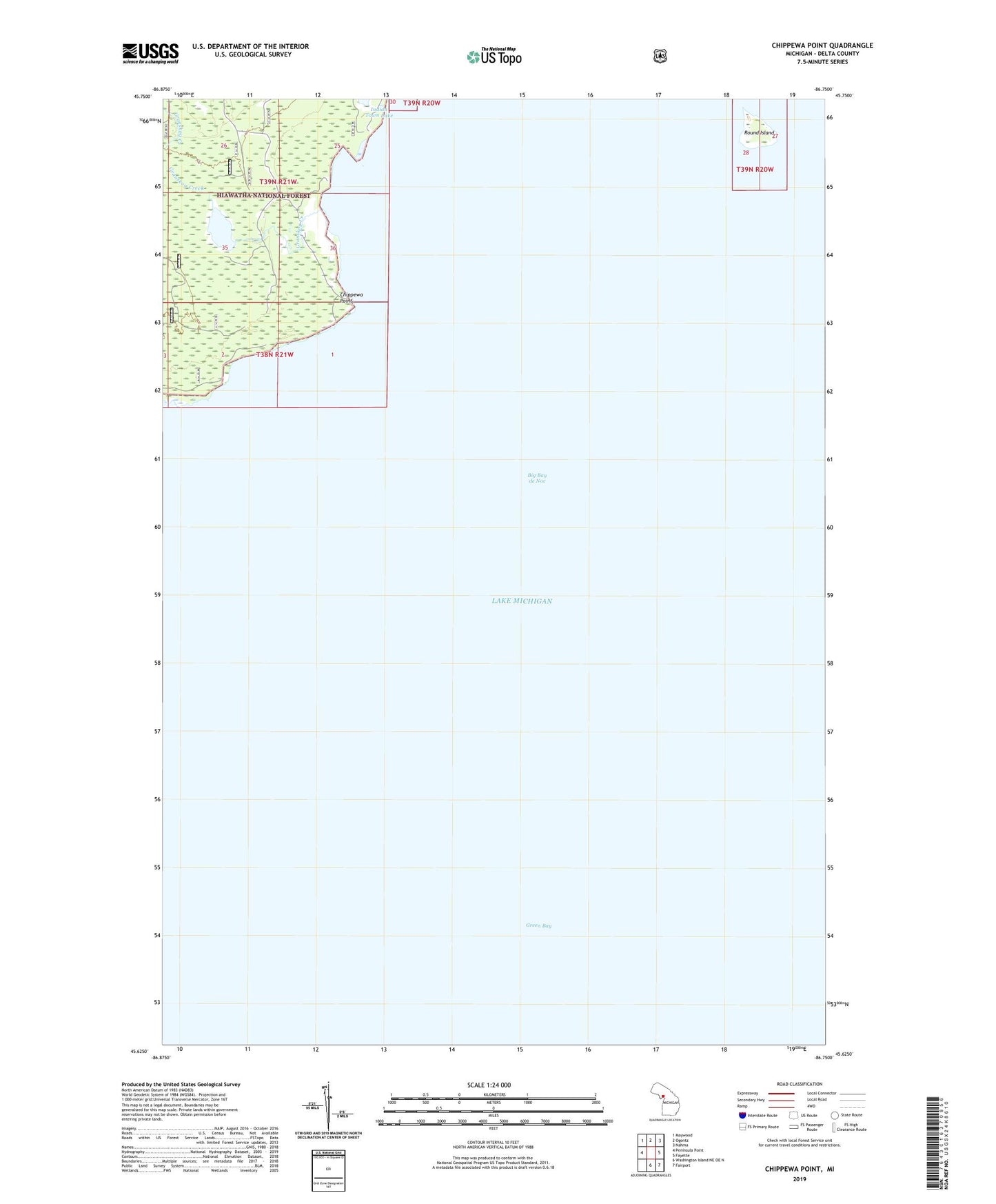
2023 topographic map quadrangle Chippewa Point in the state of Michigan. Scale: 1:24000. Based on the newly updated USGS 7.5' US Topo map series, this map is in the following counties: Delta. The map contains contour data, water features, and other items you are used to seeing on USGS maps, but also has updated roads and other features. This is the next generation of topographic maps. Printed on high-quality waterproof paper with UV fade-resistant inks.
Quads adjacent to this one:
West: Peninsula Point
Northwest: Maywood
North: Ogontz
Northeast: Nahma
East: Fayette
Southeast: Fairport
South: Washington Island NE OE N
This map covers the same area as the classic USGS quad with code o45086f7.
Contains the following named places: Chippewa Point, Granskog Creek, Granskog Lake, Round Island