MyTopo
Fairport Michigan US Topo Map
Couldn't load pickup availability
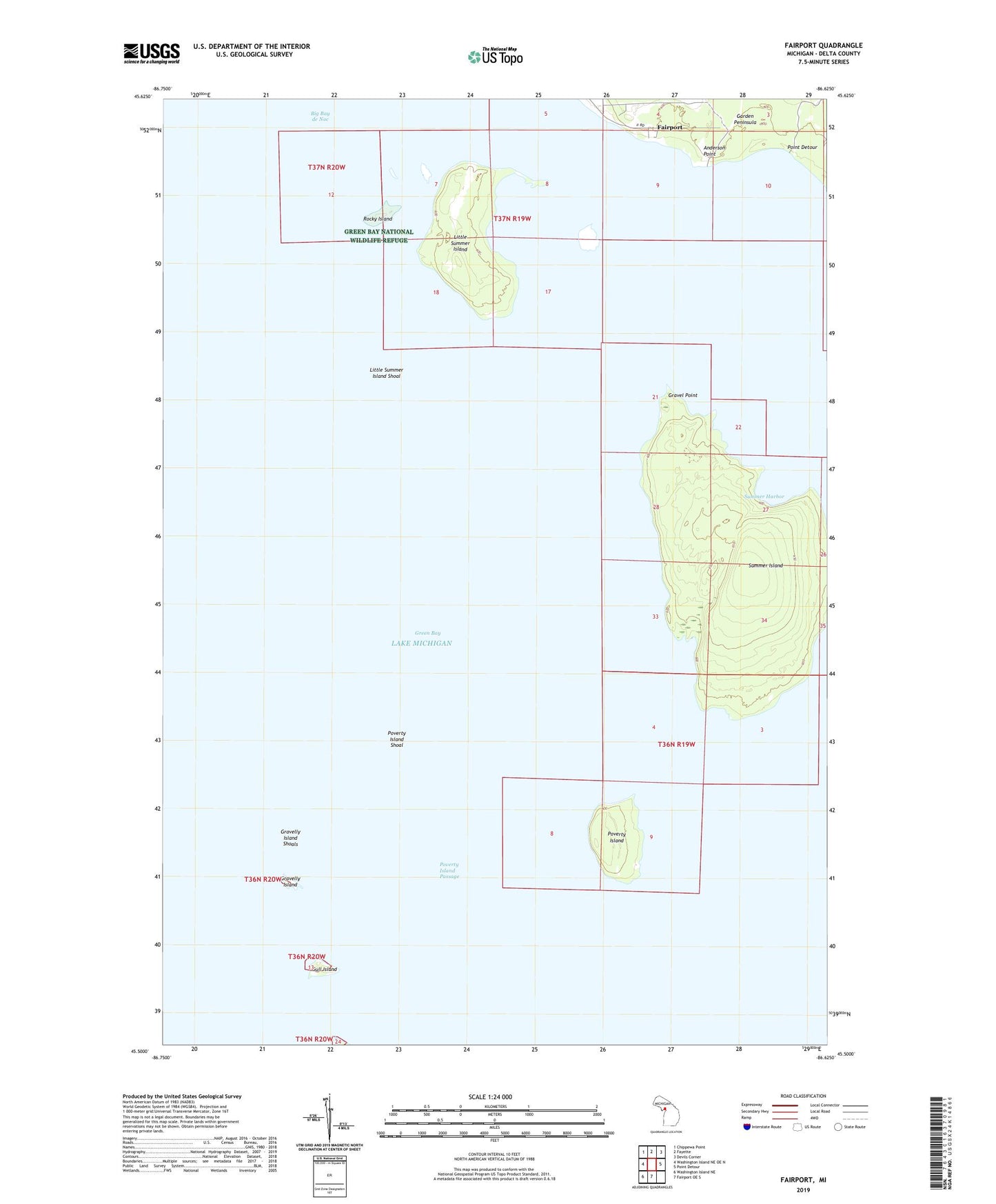
2023 topographic map quadrangle Fairport in the state of Michigan. Scale: 1:24000. Based on the newly updated USGS 7.5' US Topo map series, this map is in the following counties: Delta. The map contains contour data, water features, and other items you are used to seeing on USGS maps, but also has updated roads and other features. This is the next generation of topographic maps. Printed on high-quality waterproof paper with UV fade-resistant inks.
Quads adjacent to this one:
West: Washington Island NE OE N
Northwest: Chippewa Point
North: Fayette
Northeast: Devils Corner
East: Point Detour
South: Fairport OE S
Southwest: Washington Island NE
This map covers the same area as the classic USGS quad with code o45086e6.
Contains the following named places: Anderson Point, Fairport, Gravel Point, Gravelly Island, Gravelly Island Shoals, Gull Island, Little Summer Island, Little Summer Island Shoal, Poverty Island, Poverty Island Passage, Poverty Island Shoal, Rocky Island, Summer Harbor, Summer Island, Township of Fairbanks