MyTopo
Cordwood Point Michigan US Topo Map
Couldn't load pickup availability
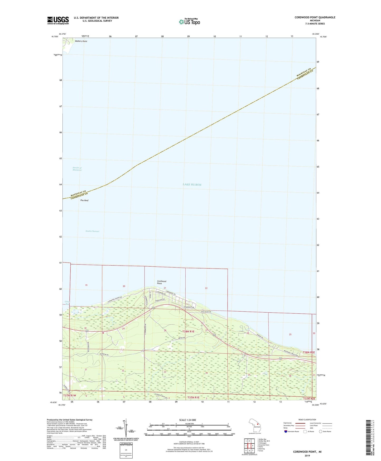
2019 topographic map quadrangle Cordwood Point in the state of Michigan. Scale: 1:24000. Based on the newly updated USGS 7.5' US Topo map series, this map is in the following counties: Cheboygan, Mackinac, Presque Isle. The map contains contour data, water features, and other items you are used to seeing on USGS maps, but also has updated roads and other features. This is the next generation of topographic maps. Printed on high-quality waterproof paper with UV fade-resistant inks.
Quads adjacent to this one:
West: Cheboygan
Northwest: McRae Bay
North: McRae Bay OE E
East: Ninemile Point
Southeast: Grace
South: Manning
Southwest: Aloha
Contains the following named places: Alverno Fire Department Station 4, Coast Guard Chapel, Cordwood Point, Grass Lake, High Banks, Poe Reef, Poe Reef Light, Walkers Point, WTOM Radio Tower (Detroit), WTOM-TV (Cheboygan)