
MyTopo
Crystal Falls Michigan US Topo Map
Couldn't load pickup availability
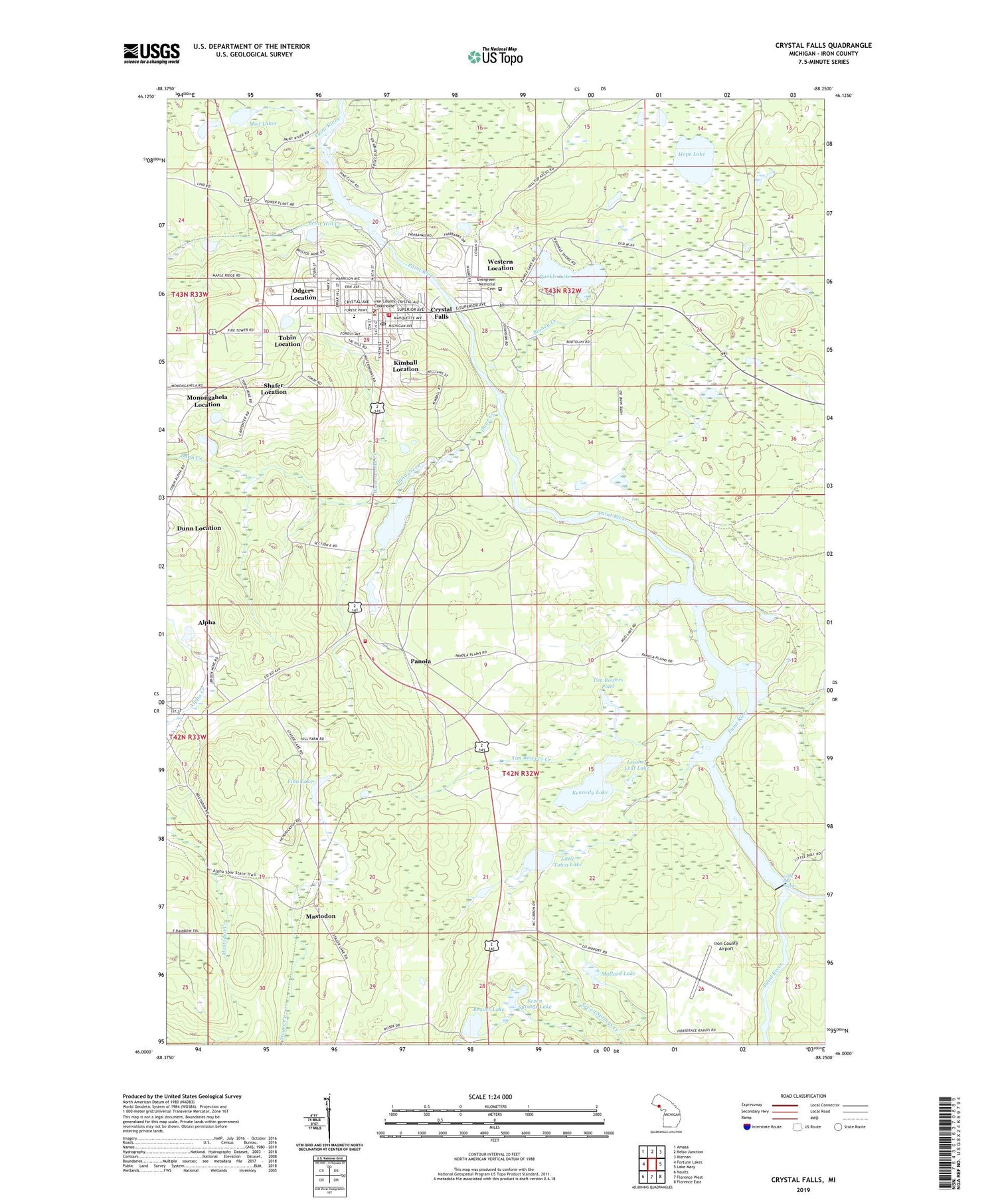
2019 topographic map quadrangle Crystal Falls in the state of Michigan. Scale: 1:24000. Based on the newly updated USGS 7.5' US Topo map series, this map is in the following counties: Iron. The map contains contour data, water features, and other items you are used to seeing on USGS maps, but also has updated roads and other features. This is the next generation of topographic maps. Printed on high-quality waterproof paper with UV fade-resistant inks.
Quads adjacent to this one:
West: Fortune Lakes
Northwest: Amasa
North: Kelso Junction
Northeast: Kiernan
East: Lake Mary
Southeast: Florence East
South: Florence West
Southwest: Naults
Contains the following named places: Alpha - Mastodon Township Volunteer Fire Department Station 1 Headquarters, Alpha Station, Beaver Lake, Blaney Creek, Book Mine, Briar Hill Creek, Camp Buckskins Creek, Christ United Methodist Church, City of Crystal Falls, Clinch Post Office, Crystal Falls, Crystal Falls Family Health Center, Crystal Falls Fire Department, Crystal Falls Library, Crystal Falls Police Department, Crystal Falls Post Office, Crystal Falls Station, Crystal Manor Nursing Home, Crystal View Golf Course, Dunn Creek, Dunn Location, Dunn Post Office, Dunn Station, Evergreen Memorial Cemetery, Faith Baptist Church, Falls Clinic, Finn Lake, Forest Park High School, Greater Iron County Emergency Medical Services Station 2, Guardian Angels Church, Harbour House Museum, Hope Lake, Iron County Airport, Iron County Community Hospital, Iron County Courthouse, Iron County Historical Marker, Iron County Medical Care Facility, Iron County Sheriff's Office, Kennedy Lake, Kimball Location, Lakeview Bible Church, Leather Leaf Lake, Lincoln Park, Little Bull Rapids, Little Mud Lake, Little Tobin Lake, Lower Paint Dam, Mallard Lake, Mastodon, Mastodon Mine Post Office, Michigan Department of Natural Resources Crystal Falls Field Office, Monongahela Location, Monongahela Mine, Mud Lake, Mud Lakes, Odgers Location, Paint River Hills Campground, Panola, Panola Station, Railroad Lake, Runkle Lake, Runkle Lake Park, Saint Mark's Episcopal Church, Seven Springs Lake, Shafer Location, Shafer Mine, Tim Bowers Creek, Tim Bowers Pond, Tobin Location, Township of Mastodon, United Lutheran Church, Waterworks Creek, Western Location


