MyTopo
Cunard Michigan US Topo Map
Couldn't load pickup availability
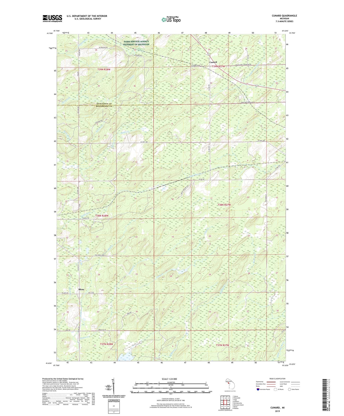
2023 topographic map quadrangle Cunard in the state of Michigan. Scale: 1:24000. Based on the newly updated USGS 7.5' US Topo map series, this map is in the following counties: Menominee, Dickinson. The map contains contour data, water features, and other items you are used to seeing on USGS maps, but also has updated roads and other features. This is the next generation of topographic maps. Printed on high-quality waterproof paper with UV fade-resistant inks.
Quads adjacent to this one:
West: Faithorn
Northwest: Vulcan
North: Waucedah
Northeast: Vega
East: Hermansville
Southeast: Nadeau
South: Banat
Southwest: Miscauno Island
This map covers the same area as the classic USGS quad with code o45087f6.
Contains the following named places: Bird Creek, Blom, Brooks Post Office, Brooks Station, Camp Creek, Carlson Creek, Cunard, Cunard Rest Area, Cunard Station, Malacca Lake, Mullen Creek, Nadeau Creek, Saint John Neumann Church, Three Curve Park, Township of Faithorn, Vesper Post Office, ZIP Code: 49847