MyTopo
Hillman NE Michigan US Topo Map
Couldn't load pickup availability
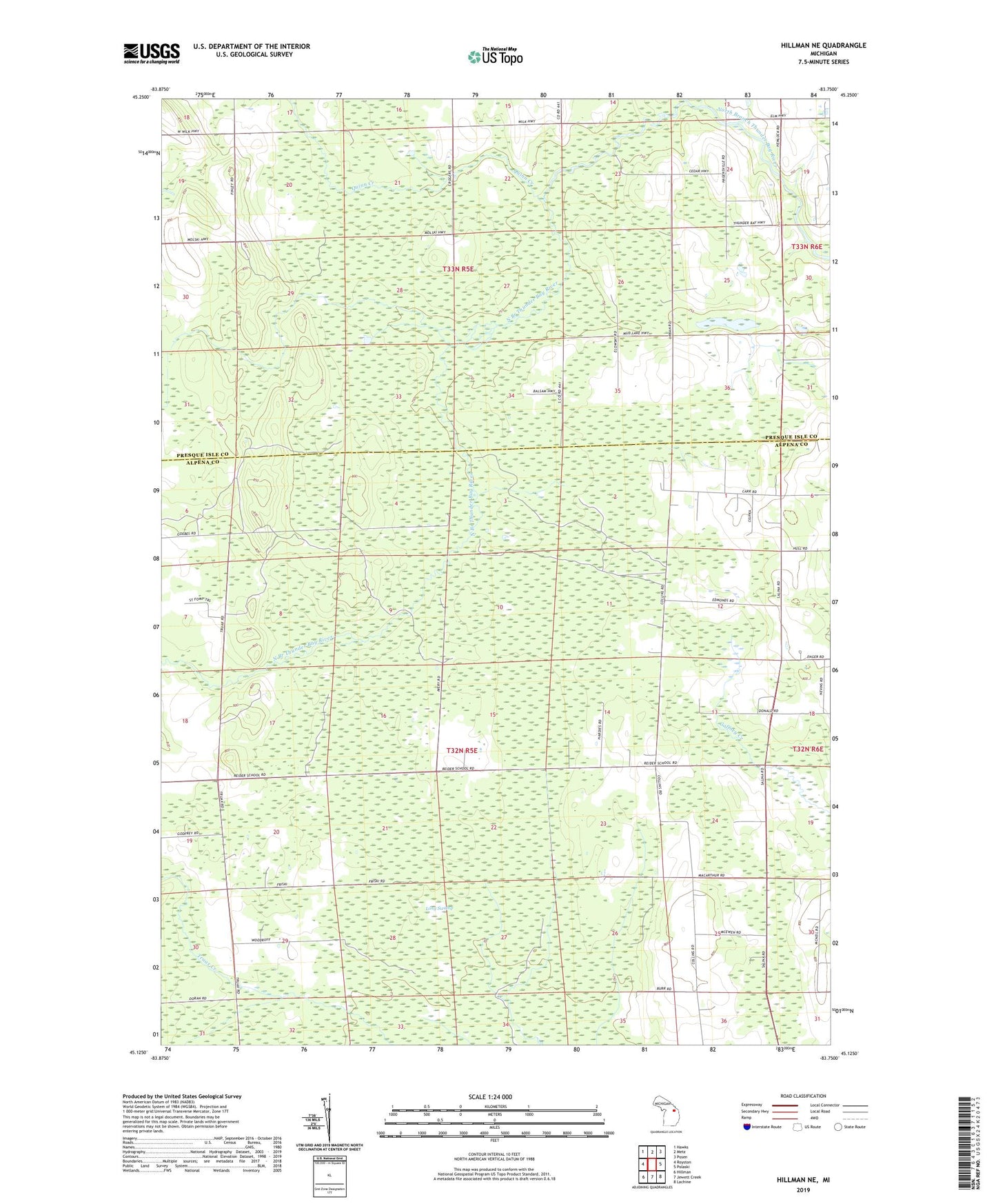
2019 topographic map quadrangle Hillman NE in the state of Michigan. Scale: 1:24000. Based on the newly updated USGS 7.5' US Topo map series, this map is in the following counties: Alpena, Presque Isle. The map contains contour data, water features, and other items you are used to seeing on USGS maps, but also has updated roads and other features. This is the next generation of topographic maps. Printed on high-quality waterproof paper with UV fade-resistant inks.
Quads adjacent to this one:
West: Royston
Northwest: Hawks
North: Metz
Northeast: Posen
East: Polaski
Southeast: Lachine
South: Jewett Creek
Southwest: Hillman
Contains the following named places: Collins School, Greenwood School, Hill School, Kollen School, Long Swamp, Quinn Creek, Reider School, Skiera School, Streasick School, Township of Metz, Township of Wellington