MyTopo
Jones Michigan US Topo Map
Couldn't load pickup availability
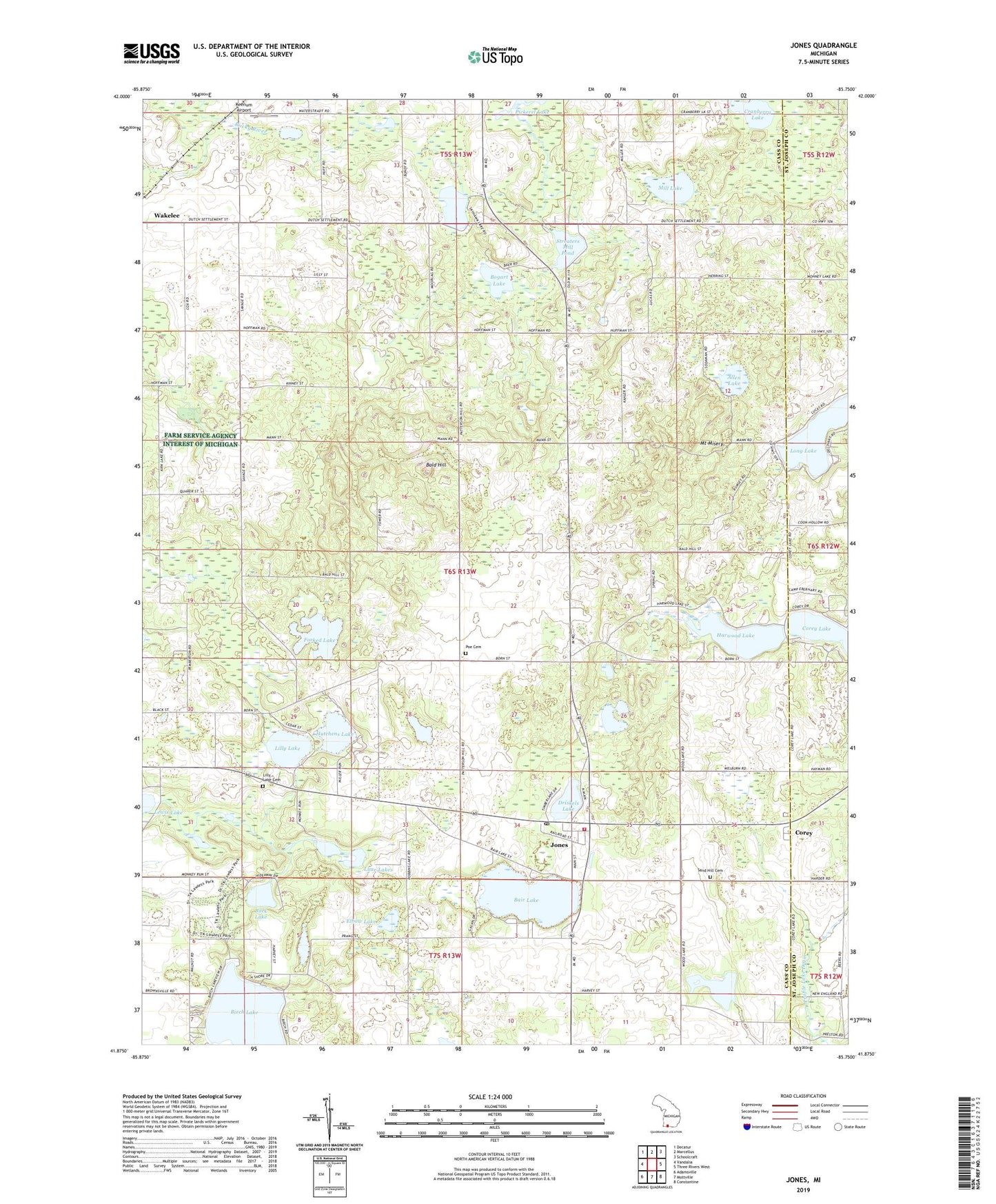
2023 topographic map quadrangle Jones in the state of Michigan. Scale: 1:24000. Based on the newly updated USGS 7.5' US Topo map series, this map is in the following counties: Cass, St. Joseph. The map contains contour data, water features, and other items you are used to seeing on USGS maps, but also has updated roads and other features. This is the next generation of topographic maps. Printed on high-quality waterproof paper with UV fade-resistant inks.
Quads adjacent to this one:
West: Vandalia
Northwest: Decatur
North: Marcellus
Northeast: Schoolcraft
East: Three Rivers West
Southeast: Constantine
South: Mottville
Southwest: Adamsville
This map covers the same area as the classic USGS quad with code o41085h7.
Contains the following named places: Allen Lake, Bair Lake, Bald Hill, Bald Hill School, Birch Lake, Bogart Lake, Bucher School, Buck Lake, Camelot Camp Grounds, Camp Eberhardt, Camp Kil Lo Qua, Camp Tannadoonah, Cass County Park, Chapman School, Corey, Corey Church of the Nazarene, Corey Lake School, Corey Post Office, Corey's Station, Cranberry Lake, Crane Pond State Game Area, Driskels Lake, Elbow Lake, Faith Bible Church, First Baptist Church, Forked Lake, Fox Lake, Harwood Lake, Hutchens Lake, Jones, Jones Post Office, Jones Station, Keenum Airport, Lakeside Campground, Laneville School, Lilly Lake, Lilly Lake Cemetery, Lime Lakes, Long Lake, M40 Speedway, Mill Lake, Mount Misery, Newberg Norton Bible Church, Newberg Township Fire and Emergency Medical Services, North Porter School, Norton School, Pemberton School, Poe Cemetery, Poe School, Poe's Corners Historical Marker, Sand Hill Cemetery, Shady Point Campgrounds, Skyhawk Lake, Star School, Streaters Mill Pond, Swiss Valley Ski Area, Township of Newberg