MyTopo
Adamsville Michigan US Topo Map
Couldn't load pickup availability
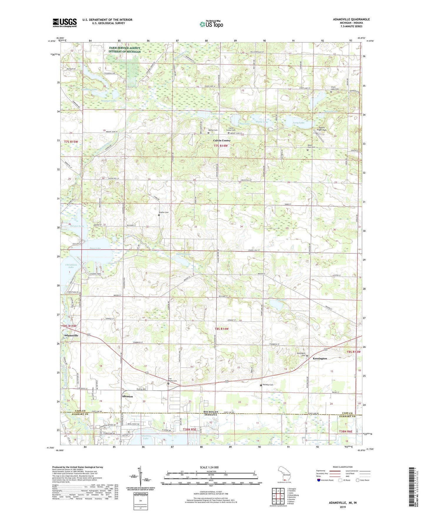
2023 topographic map quadrangle Adamsville in the states of Michigan, Indiana. Scale: 1:24000. Based on the newly updated USGS 7.5' US Topo map series, this map is in the following counties: Cass, Elkhart. The map contains contour data, water features, and other items you are used to seeing on USGS maps, but also has updated roads and other features. This is the next generation of topographic maps. Printed on high-quality waterproof paper with UV fade-resistant inks.
Quads adjacent to this one:
West: Edwardsburg
Northwest: Dowagiac
North: Vandalia
Northeast: Jones
East: Mottville
Southeast: Bristol
South: Elkhart
Southwest: Osceola
This map covers the same area as the classic USGS quad with code o41085g8.
Contains the following named places: Adamsville, Adamsville Post Office, Allenton, Bethel Cemetery, Bethel Church, Bulhand School, Calvin Center, Calvin Center Cemetery, Calvin Hill School, Calvin Post Office, Calvin Township Hall, Cass District Library-Kessington, Chain Lake, Chain Lake Baptist Church and Cemetery Historical Marker, Chain Lake Cemetery, Chain Lake Church, Christ Tabernacle Church, Christiana Lake, Cooks Lake, Curtis Lake, Day Lake, Day Post Office, District Schoolhouse Historical Marker, Five Points Cemetery, Five Points School, Full Gospel Assembly Church, Gline School, Juno Lake, Kessington, Kessington Cemetery, Lafferty Lake, Leninger Lake, Linden Mobile Home Park, Long Lake, Mason Church, Mount Zion Cemetery, Mount Zion Church, Mud Lake, Painter Lake, Paradise Cemetery, Pullman Corners, Puterbaugh Lake, Red Brick School, Redfield Hall, Robinson Lake, Round Lake, Rustic Acres Mobile Home Park, Sailor Post Office, Shaffer Cemetery, Simmons Mobile Home Park, Simonton Lake, Swamp School, Taylors Flight Park, Tharp Lake, Township of Calvin, Township of Mason, Willow Pond School