MyTopo
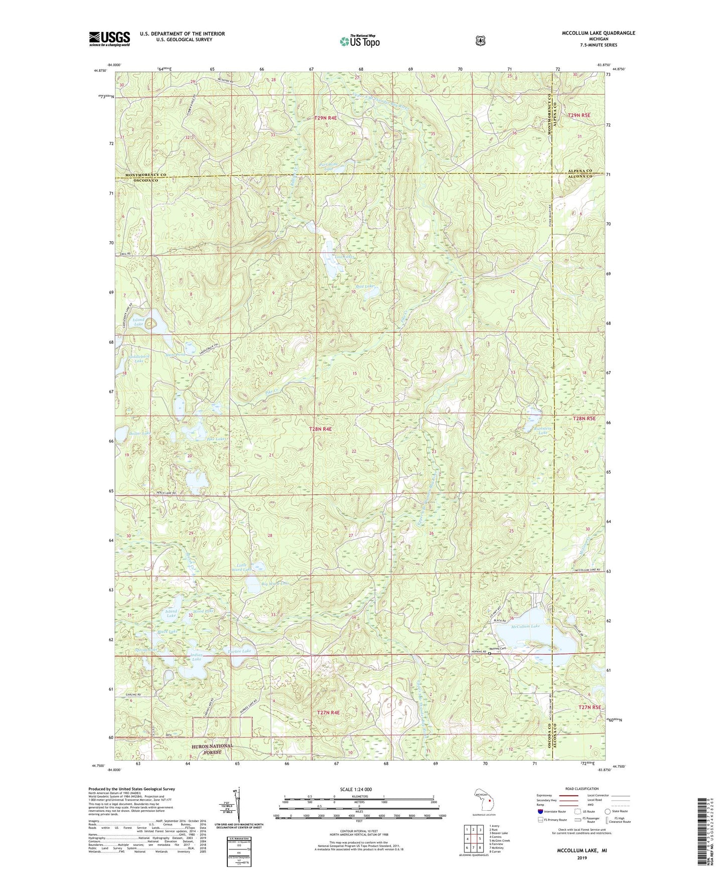
McCollum Lake Michigan US Topo Map
Couldn't load pickup availability
Also explore the McCollum Lake Forest Service Topo of this same quad for updated USFS data
2023 topographic map quadrangle McCollum Lake in the state of Michigan. Scale: 1:24000. Based on the newly updated USGS 7.5' US Topo map series, this map is in the following counties: Oscoda, Montmorency, Alcona, Alpena. The map contains contour data, water features, and other items you are used to seeing on USGS maps, but also has updated roads and other features. This is the next generation of topographic maps. Printed on high-quality waterproof paper with UV fade-resistant inks.
Quads adjacent to this one:
West: Comins
Northwest: Avery
North: Rust
Northeast: Beaver Lake
East: McGinn Creek
Southeast: Curran
South: McKinley
Southwest: Fairview
This map covers the same area as the classic USGS quad with code o44083g8.
Contains the following named places: Big Ward Lake, Black Lake, Bullock Creek, Dollar Lake, Durkee Lake, Hunt Pond, Indian Lake, Island Lake, Little Ward Lake, Lost Lakes, Marsh Creek, McCollum Lake, McCollum Lake Recreation Site, Mooney Cemetery, Mud Lake, Oscoda State Forest, Perch Lake, Pike Creek, Pike Lakes, Port Wine Lake, Rienstein Lake, Saddleback Lake, Spring Lake, Wood Lake