MyTopo
Merrill Lake Michigan US Topo Map
Couldn't load pickup availability
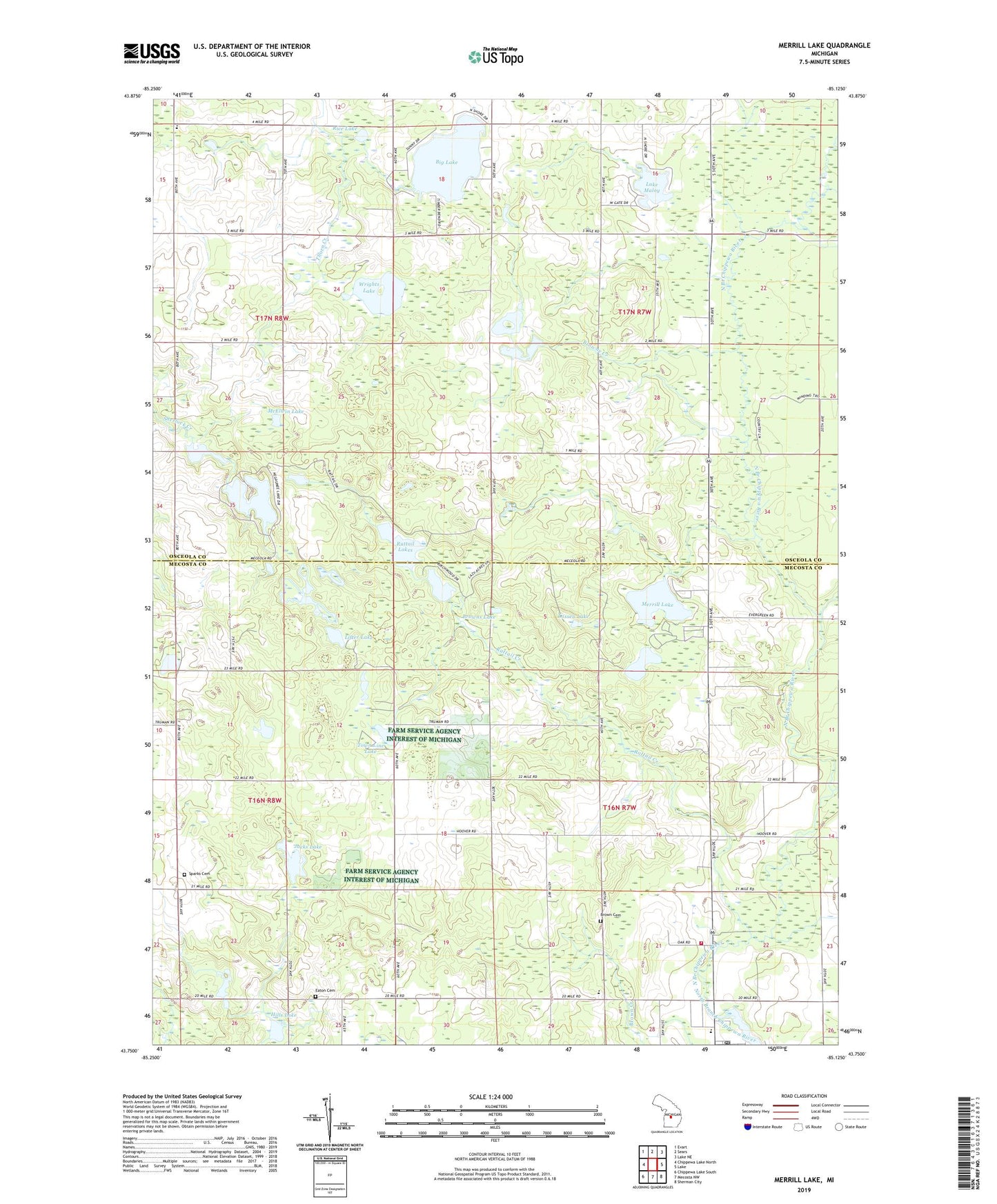
2023 topographic map quadrangle Merrill Lake in the state of Michigan. Scale: 1:24000. Based on the newly updated USGS 7.5' US Topo map series, this map is in the following counties: Mecosta, Osceola. The map contains contour data, water features, and other items you are used to seeing on USGS maps, but also has updated roads and other features. This is the next generation of topographic maps. Printed on high-quality waterproof paper with UV fade-resistant inks.
Quads adjacent to this one:
West: Chippewa Lake North
Northwest: Evart
North: Sears
Northeast: Lake NE
East: Lake
Southeast: Sherman City
South: Mecosta NW
Southwest: Chippewa Lake South
This map covers the same area as the classic USGS quad with code o43085g2.
Contains the following named places: Barryton, Barryton Area Museum, Barryton Church, Barryton Church of God, Barryton Community Fire Department, Barryton Elementary School, Barryton Historical Marker, Barryton Post Office, Barryton Public Library, Barryton Station, Benjamin Creek, Big Lake, Brown Cemetery, Brown Lake, Browne Creek, Browns Lake, Butts Creek, Community Christian School, Crittenden County Park, Daystar Christian Academy, Eaton Cemetery, Emerald Lake, Emerald Post Office, Fork Church, Fork Township Rescue, Frank Barry Historical Marker, Gibos Corners, Gorrel Lake, Hills Lake, Hoover School, Jacks Lake, Lake Maloy, Lassen Lake, Lifter Lake, McElwin Lake, Merrill Lake, Merrill Lake County Park, Negaunee Lake, Orient Post Office, Rattail Creek, Rattail Lakes, Rice Lake, Sheridan Township Hall, Sparks Cemetery, Town Line Lake, Township of Fork, Township of Orient, Village of Barryton, Wrights Lake, ZIP Code: 49305


