MyTopo
Metamora Michigan US Topo Map
Couldn't load pickup availability
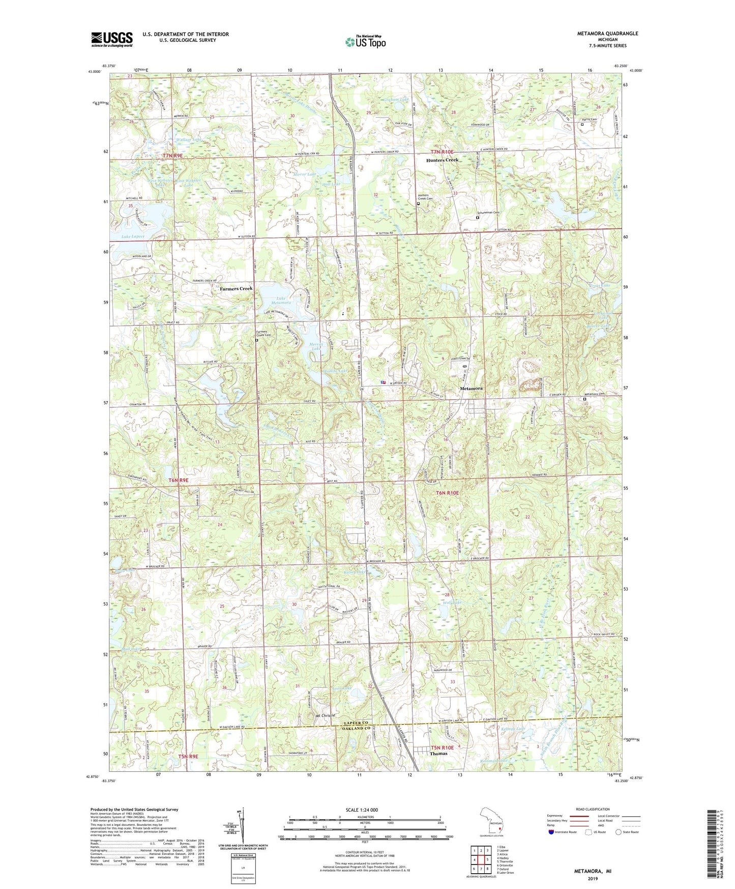
2023 topographic map quadrangle Metamora in the state of Michigan. Scale: 1:24000. Based on the newly updated USGS 7.5' US Topo map series, this map is in the following counties: Lapeer, Oakland. The map contains contour data, water features, and other items you are used to seeing on USGS maps, but also has updated roads and other features. This is the next generation of topographic maps. Printed on high-quality waterproof paper with UV fade-resistant inks.
Quads adjacent to this one:
West: Hadley
Northwest: Elba
North: Lapeer
Northeast: Attica
East: Thornville
Southeast: Lake Orion
South: Oxford
Southwest: Ortonville
This map covers the same area as the classic USGS quad with code o42083h3.
Contains the following named places: Andress Drain, Baily Lake, Beaver Lake, Camp Metamora, D Bar A Scout Ranch, East Webster Lake, Emma Murphy Elementary School, Farmers Creek, Farmers Creek Cemetery, Farmers Creek Post Office, Gospel Light Baptist Church, Graham Lake, Hall Lake, Harris Cemetery, Hunters Creek, Hunters Creek Cemetery, Hunters Creek Community Church, Hunters Creek Post Office, Hunters Creek Station, Ideal Villa Mobile Home Park, Kellogg Lake, Kelsey Lake, Kintz Creek, Lake Lapeer, Lake Metamora, Lake Minnawanna, Lapeer District Library-Metamora Branch, Loon Lake, Maple Springs Golf Range, McLaren Community Medical Center, Merritt Lake, Metamora, Metamora Cemetery, Metamora Golf and Country Club, Metamora Post Office, Metamora Station, Metamora Township Fire Department, Metamora Township Police Department, Metamora-Hadley State Recreation Area, Mirror Lake, Mirror Lake Drain, Misch Lake, Mount Christie, Mud Lake, Otsikita Lake, Pilgrim Presbyterian Church, Poplar Creek, Reed Lake, Rossman Lake, Rural Vale Post Office, Schuneman Cemetery, South Branch Farmers Creek, Thomas, Thomas Post Office, Thomas Station, Township of Metamora, Trout Lake, Village of Metamora, Wallace Lake, West Webster Lake, Wolf Drain, Wolf Lake, ZIP Code: 48455


