MyTopo
Milakokia Lake Michigan US Topo Map
Couldn't load pickup availability
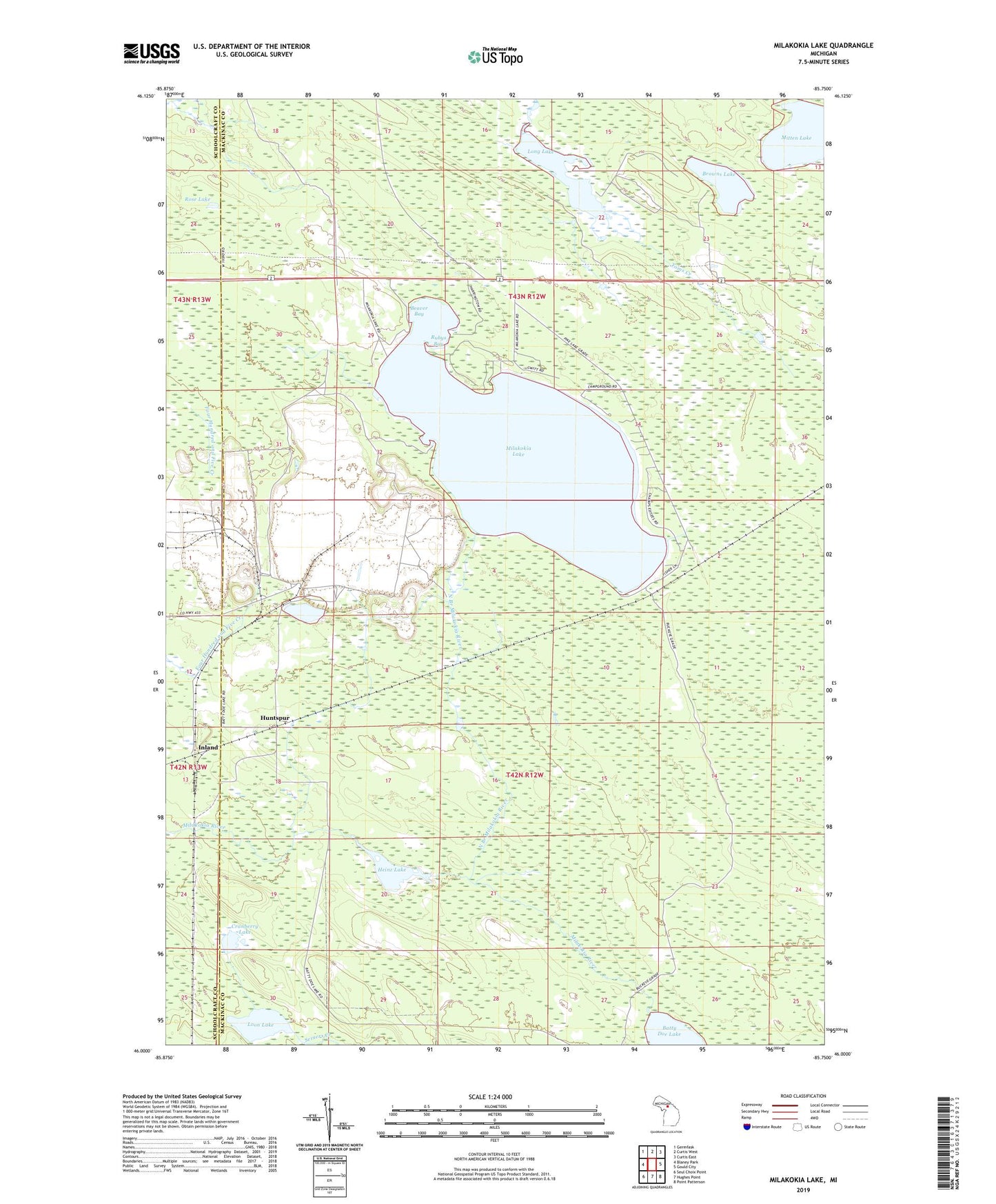
2019 topographic map quadrangle Milakokia Lake in the state of Michigan. Scale: 1:24000. Based on the newly updated USGS 7.5' US Topo map series, this map is in the following counties: Mackinac, Schoolcraft. The map contains contour data, water features, and other items you are used to seeing on USGS maps, but also has updated roads and other features. This is the next generation of topographic maps. Printed on high-quality waterproof paper with UV fade-resistant inks.
Quads adjacent to this one:
West: Blaney Park
Northwest: Germfask
North: Curtis West
Northeast: Curtis East
East: Gould City
Southeast: Point Patterson
South: Hughes Point
Southwest: Seul Choix Point
Contains the following named places: Batty Doe Lake, Beaver Bay, Browns Lake, Cranberry Lake, Heinz Lake, Huntspur, Huntspur Post Office, Huntspur Station, Inland, Long Lake, Loon Lake, Milakokia Lake, Milakokia Lake Campground, Mitten Lake, North Branch Milakokia River, Pike Lake Post Office, Pike Lake Station, Rose Lake, Rubys Bay, Toms Creek