MyTopo
Moltke Michigan US Topo Map
Couldn't load pickup availability
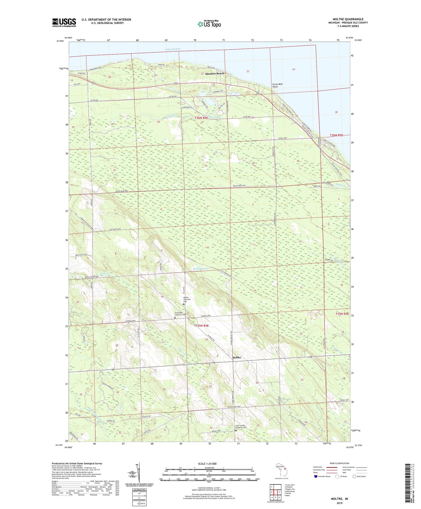
2023 topographic map quadrangle Moltke in the state of Michigan. Scale: 1:24000. Based on the newly updated USGS 7.5' US Topo map series, this map is in the following counties: Presque Isle. The map contains contour data, water features, and other items you are used to seeing on USGS maps, but also has updated roads and other features. This is the next generation of topographic maps. Printed on high-quality waterproof paper with UV fade-resistant inks.
Quads adjacent to this one:
West: Ocqueoc
Northwest: Grace OE E
East: Rogers City
Southeast: Metz
South: Hawks
Southwest: Millersburg
This map covers the same area as the classic USGS quad with code o45083d8.
Contains the following named places: Beechnut Lake, Evergreen Beach, Forty Mile Point, Forty Mile Point Light, Immanuel Church, Immanuel Lutheran Cemetery, Kingdom Hall, Manitou Beach, Moltke, Moltke Post Office, Moltke Township Cemetery, P H Hoeft State Park, Saint James Church, Saint James' Lutheran Cemetery, Schmidt Creek, Township of Moltke, Township of Rogers, Twin Lakes, WHAK-AM (Rogers City)