MyTopo
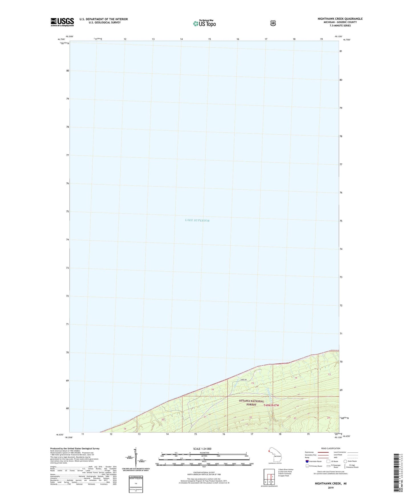
Nighthawk Creek Michigan US Topo Map
Couldn't load pickup availability
Also explore the Nighthawk Creek Forest Service Topo of this same quad for updated USFS data
2023 topographic map quadrangle Nighthawk Creek in the state of Michigan. Scale: 1:24000. Based on the newly updated USGS 7.5' US Topo map series, this map is in the following counties: Gogebic. The map contains contour data, water features, and other items you are used to seeing on USGS maps, but also has updated roads and other features. This is the next generation of topographic maps. Printed on high-quality waterproof paper with UV fade-resistant inks.
Quads adjacent to this one:
East: Black River Harbor
Southeast: Copper Peak
South: North Ironwood
Southwest: Little Girls Point
This map covers the same area as the classic USGS quad with code o46090f2.
Contains the following named places: Ghost Creek, Nighthawk Creek