MyTopo
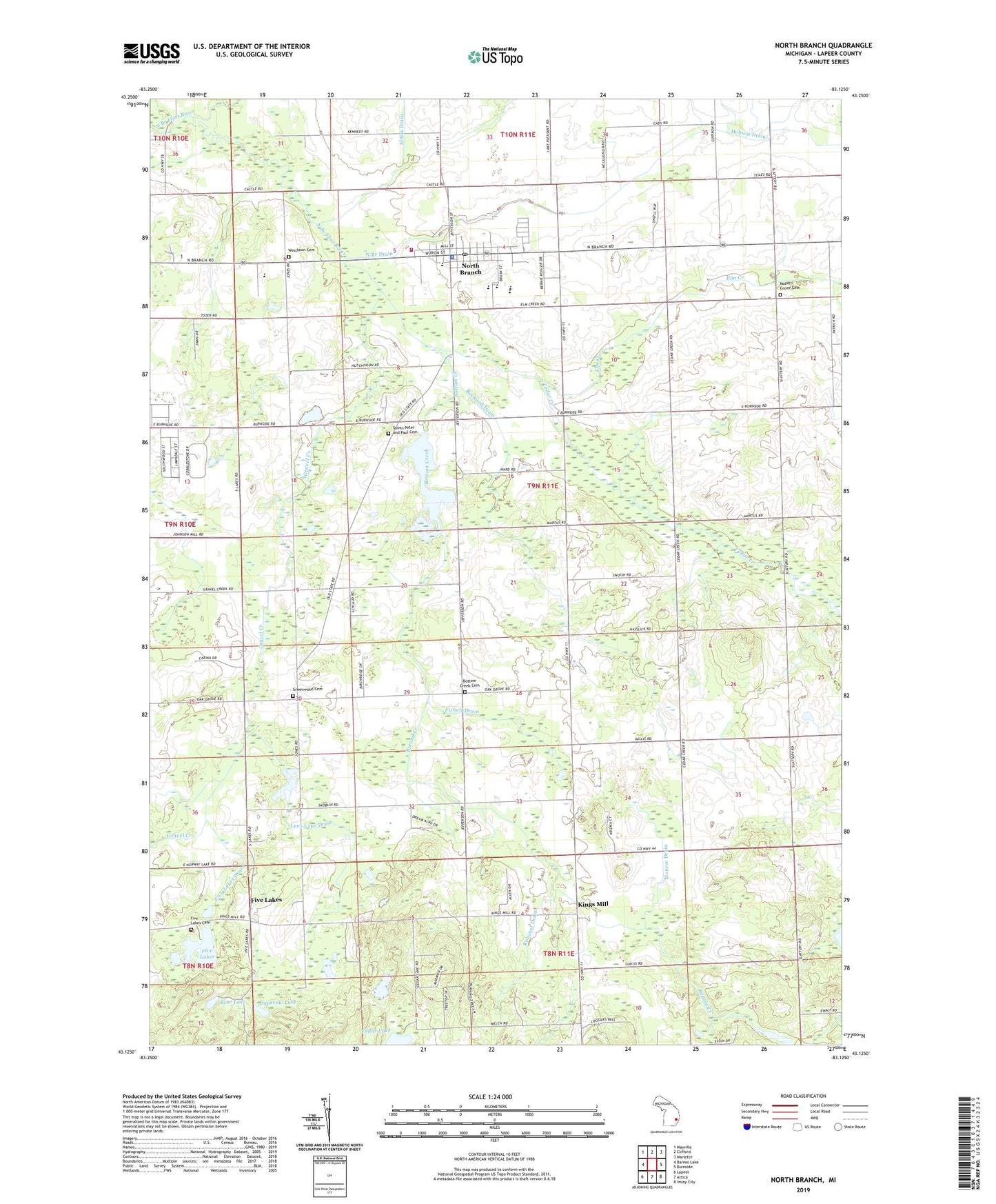
North Branch Michigan US Topo Map
Couldn't load pickup availability
2023 topographic map quadrangle North Branch in the state of Michigan. Scale: 1:24000. Based on the newly updated USGS 7.5' US Topo map series, this map is in the following counties: Lapeer. The map contains contour data, water features, and other items you are used to seeing on USGS maps, but also has updated roads and other features. This is the next generation of topographic maps. Printed on high-quality waterproof paper with UV fade-resistant inks.
Quads adjacent to this one:
West: Barnes Lake
Northwest: Mayville
North: Clifford
Northeast: Marlette
East: Burnside
Southeast: Imlay City
South: Attica
Southwest: Lapeer
This map covers the same area as the classic USGS quad with code o43083b2.
Contains the following named places: Arnold Drain, Bear Lake, Birch Valley Camp, Bottom Creek, Bottom Creek Cemetery, Cedar Creek, Cedar Lake, Duperow Lake, Elm Creek, First Baptist Church, Fishell Drain, Five Lakes, Five Lakes Cemetery, Five Lakes Drain, Five Lakes Post Office, Five Lakes School, Gravel Creek, Greenwood Cemetery, Indian Creek, Kings Mill, Kings Mill Post Office, Kings Mill Station, Lapeer County Emergency Medical Services Station 2, Lees Lake Drain, Maple Grove Cemetery, McLaren Family Care Center, Methodist Church, Monroe Drain, North Branch, North Branch Drain, North Branch Elementary School, North Branch High School, North Branch Library, North Branch Meadows Mobile Home Park, North Branch Memorial Park, North Branch Middle School, North Branch Police Department, North Branch Post Office, North Branch Station, North Branch Township Fire Department, North Branch Wesleyan Church, Pioneer Bank Historical Marker, Robinet Drain, Rockwell Drain, Ruth Fox Elementary School, Saint James Lutheran Church, Saints Peter and Paul Catholic Church, Saints Peter and Paul Cemetery, Stephens Post Office, Township of North Branch, Village of North Branch, Washakie Golf and RV Resort, Westlawn Cemetery, Wilson Drain, ZIP Code: 48461


