MyTopo
Marlette Michigan US Topo Map
Couldn't load pickup availability
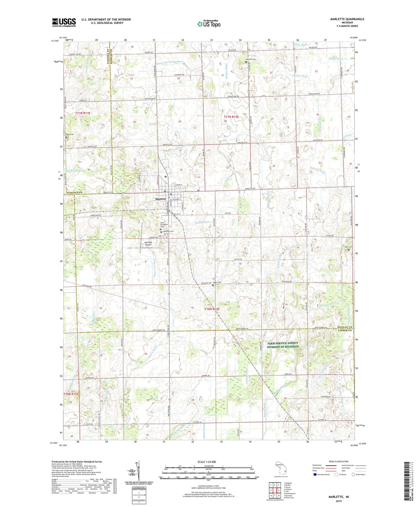
2023 topographic map quadrangle Marlette in the state of Michigan. Scale: 1:24000. Based on the newly updated USGS 7.5' US Topo map series, this map is in the following counties: Sanilac, Lapeer, Tuscola. The map contains contour data, water features, and other items you are used to seeing on USGS maps, but also has updated roads and other features. This is the next generation of topographic maps. Printed on high-quality waterproof paper with UV fade-resistant inks.
Quads adjacent to this one:
West: Clifford
Northwest: Kingston
North: Decker
Northeast: Snover
East: Juhl
Southeast: Brown City
South: Burnside
Southwest: North Branch
This map covers the same area as the classic USGS quad with code o43083c1.
Contains the following named places: Bethel Church, Cargill Drain, Carofino Drain, City of Marlette, Columbus Drain, Dawson Drain, Donald Drain, Ellis Drain, First Presbyterian Church, First United Methodist Church, Flint and Pere Marquette Railroad Depot Historical Marker, Good News Assembly of God Church, Gosline Drain, Governor Drain, Grace Bible Church, Hager Cemetery, Hager Community Hall, Hillaker Drain, Hudson Drain, Hunter Drain, Kerr Cemetery, Lion of Judah Church, Marlette, Marlette Apostolic Church, Marlette Baptist Church, Marlette Cemetery, Marlette City Hall, Marlette Country Club, Marlette District Library, Marlette District Library Historical Marker, Marlette Fire Department, Marlette High School, Marlette Medical Center, Marlette Middle School, Marlette Police Department, Marlette Post Office, Marlette Regional Hospital, Marlette Station, Marlette Township Airport, McLeish Cemetery, Methodist Episcopal Church Historical Marker, Montgomery School, Mordick Drain, Odofer Drain, Our Savior Lutheran Church, Pattie Vail Drain, Peters Drain, Redmond Drain, Reorganized Church of Jesus Christ of Latter Day Saints, Saint Elizabeth Catholic Church, Saint Elizabeth Cemetery, Siple Cemetery, Sullivan Drain, Township of Marlette, Vining Drain, Walker Drain, Weeks Post Office, White and Moffatt Drain, ZIP Code: 48453


