MyTopo
Poplar Lake Michigan US Topo Map
Couldn't load pickup availability
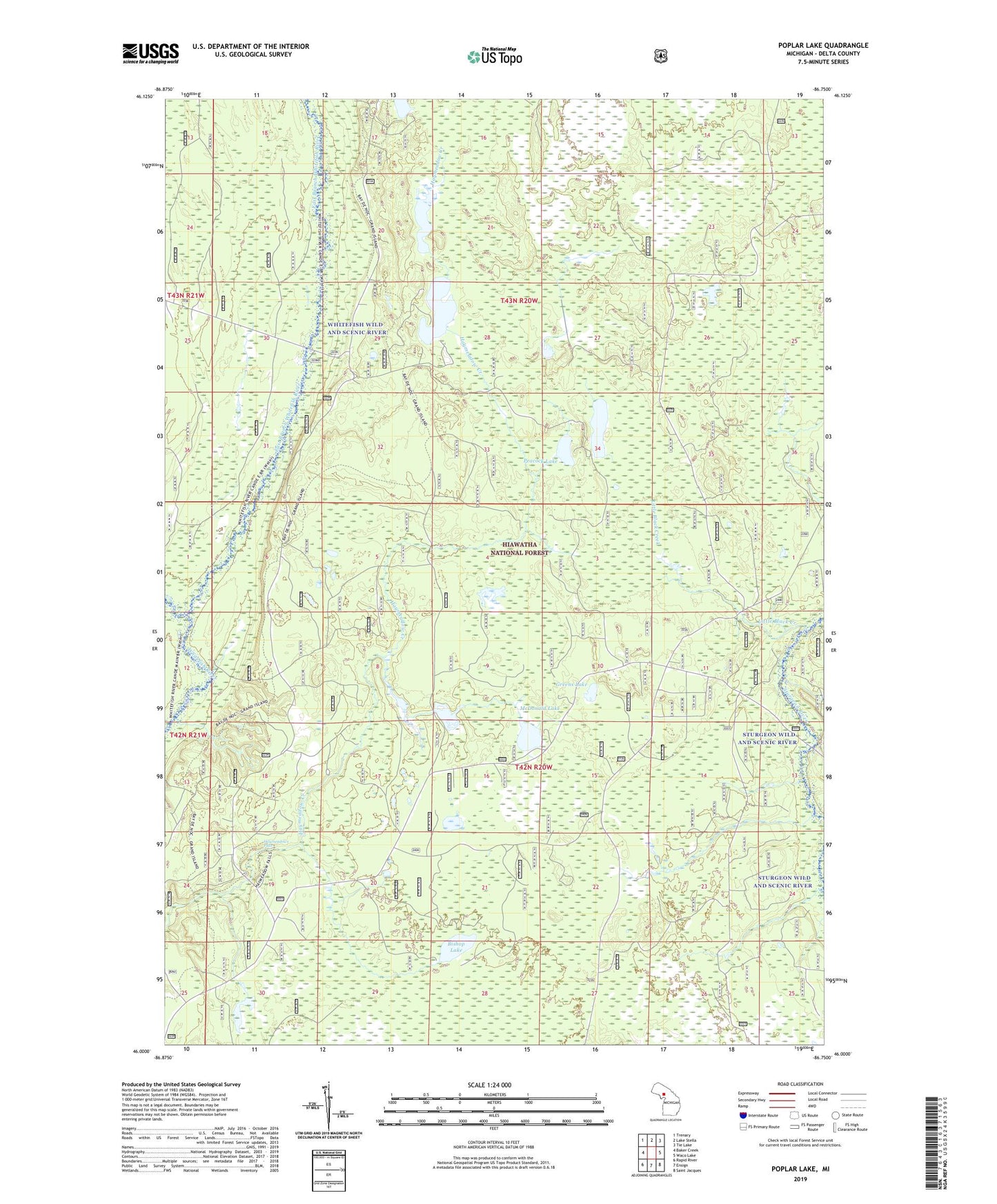
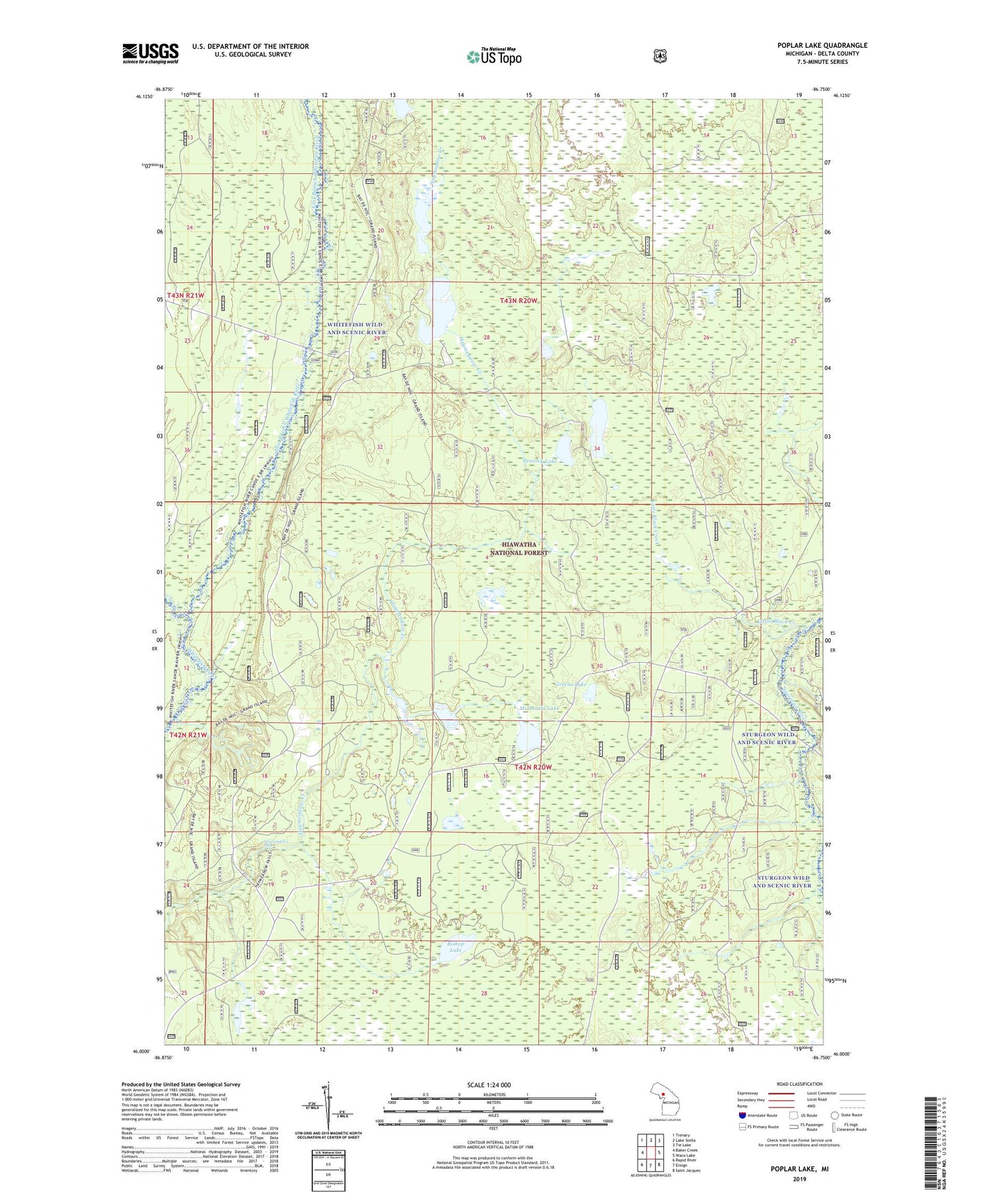
2019 topographic map quadrangle Poplar Lake in the state of Michigan. Scale: 1:24000. Based on the newly updated USGS 7.5' US Topo map series, this map is in the following counties: Delta. The map contains contour data, water features, and other items you are used to seeing on USGS maps, but also has updated roads and other features. This is the next generation of topographic maps. Printed on high-quality waterproof paper with UV fade-resistant inks.
Quads adjacent to this one:
West: Baker Creek
Northwest: Trenary
North: Lake Stella
Northeast: Tie Lake
East: Waco Lake
Southeast: Saint Jacques
South: Ensign
Southwest: Rapid River
Contains the following named places: Bay De Noe Grand Island Trail, Bishop Lake, East Branch Whitefish River, Greens Lake, Haymeadow Creek Recreation Area, Haymeadow Falls Trail, Haymeadows Falls, Little Black Creek, Lower Eighteenmile Lake, McDonald Lake, Middle Eighteenmile Lake, Peacock Lake, Poplar Lake, West Branch Whitefish River, Whitefish Wild and Scenic River