MyTopo
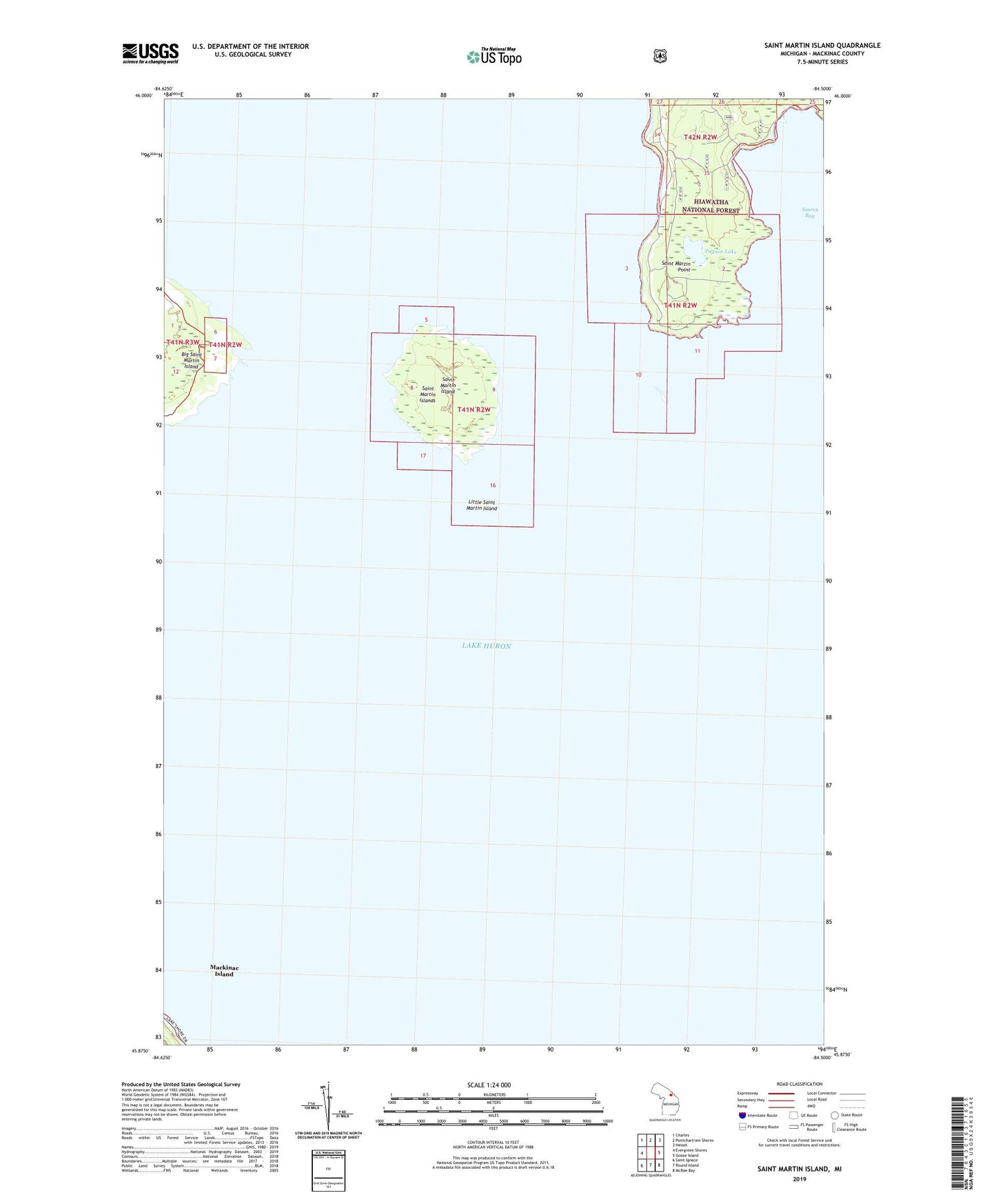
Saint Martin Island Michigan US Topo Map
Couldn't load pickup availability
Also explore the Saint Martin Island Forest Service Topo of this same quad for updated USFS data
2023 topographic map quadrangle Saint Martin Island in the state of Michigan. Scale: 1:24000. Based on the newly updated USGS 7.5' US Topo map series, this map is in the following counties: Mackinac. The map contains contour data, water features, and other items you are used to seeing on USGS maps, but also has updated roads and other features. This is the next generation of topographic maps. Printed on high-quality waterproof paper with UV fade-resistant inks.
Quads adjacent to this one:
West: Evergreen Shores
Northwest: Charles
North: Pontchartrain Shores
Northeast: Hessel
East: Goose Island
Southeast: McRae Bay
South: Round Island
Southwest: Saint Ignace
This map covers the same area as the classic USGS quad with code o45084h5.
Contains the following named places: Indian Burial Ground, Little Saint Martin Island, Paquin Lake, Saint Martin Island, Saint Martin Islands, Saint Martin Point