MyTopo
Star Corners Michigan US Topo Map
Couldn't load pickup availability
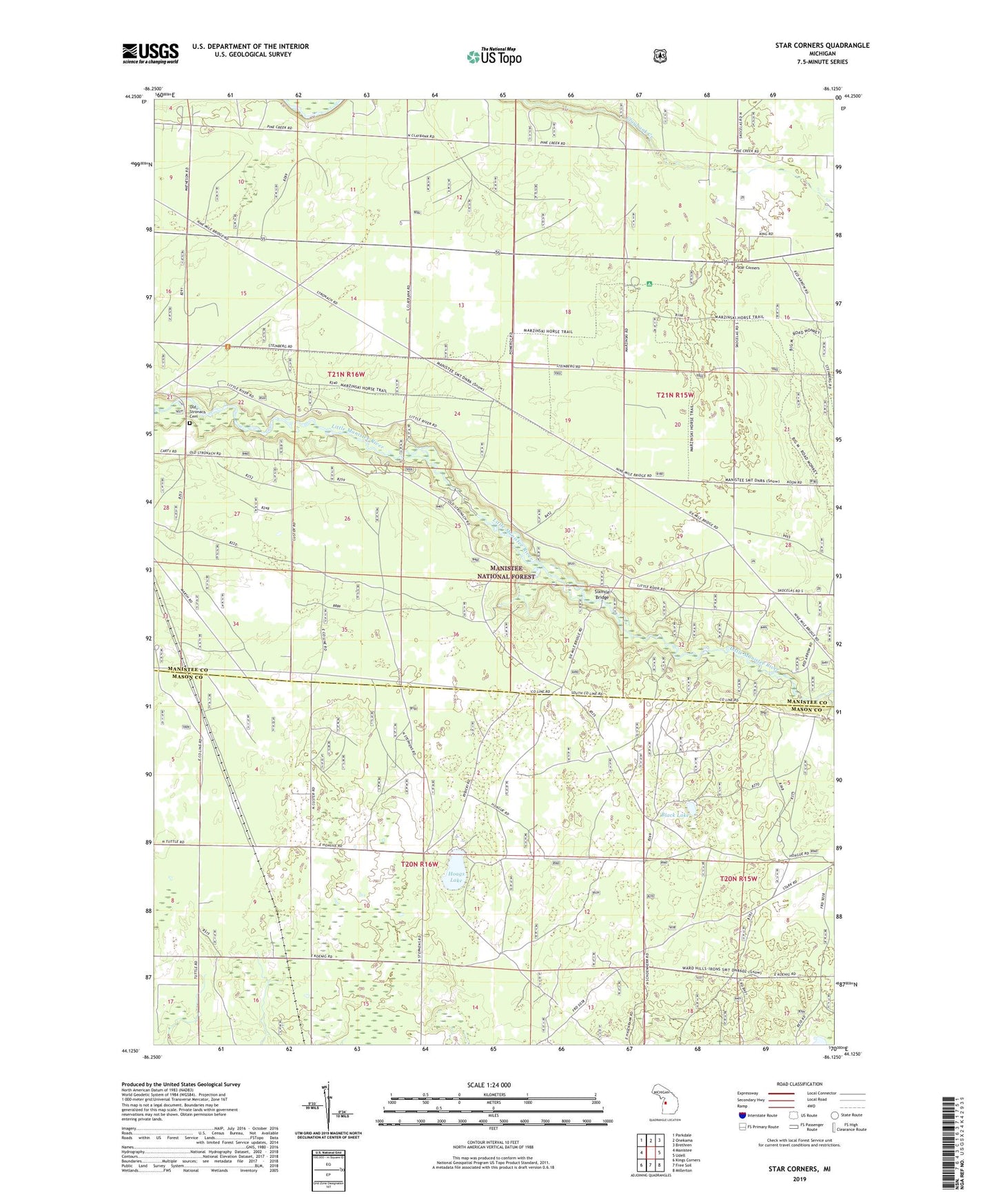
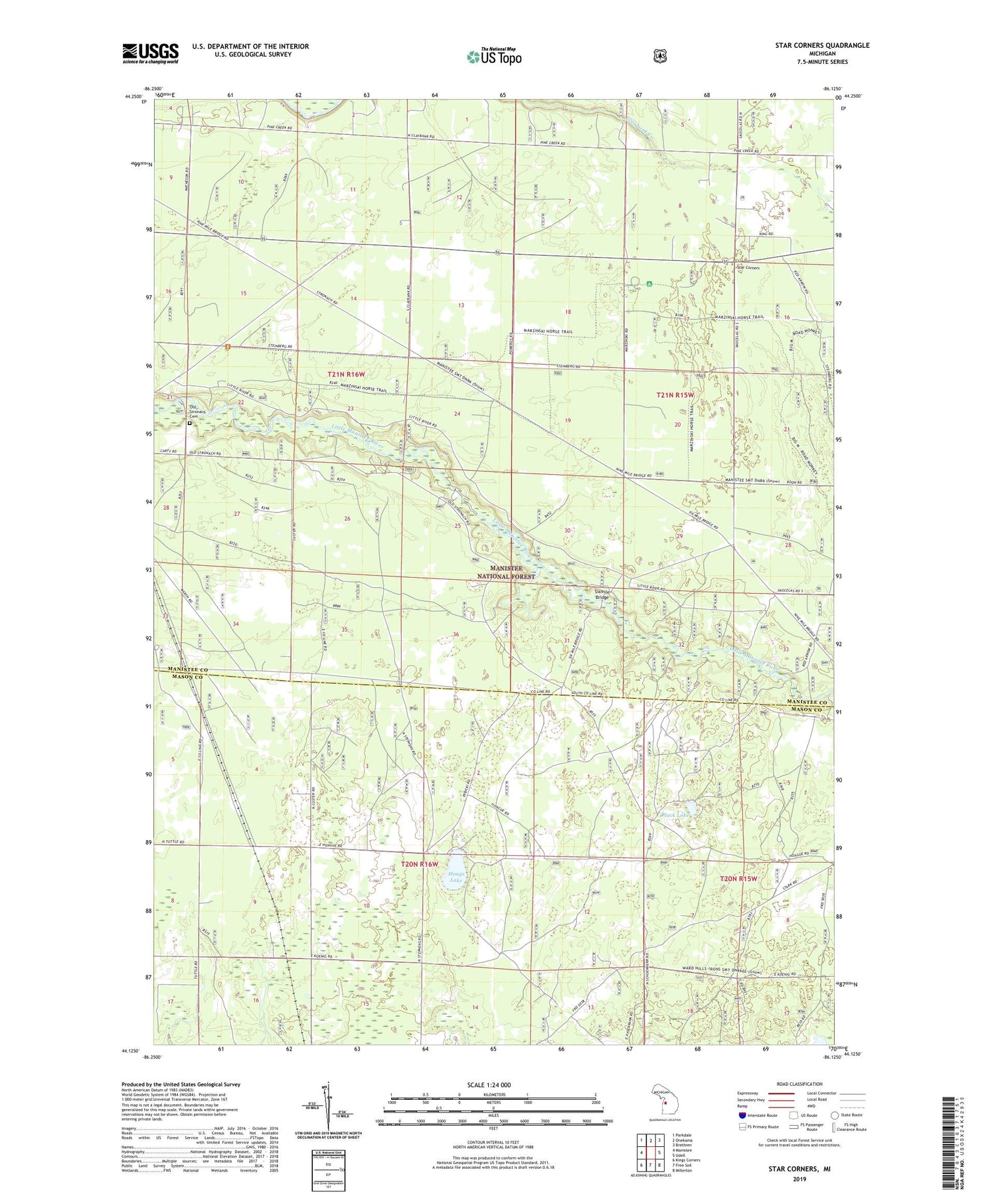
2019 topographic map quadrangle Star Corners in the state of Michigan. Scale: 1:24000. Based on the newly updated USGS 7.5' US Topo map series, this map is in the following counties: Manistee, Mason. The map contains contour data, water features, and other items you are used to seeing on USGS maps, but also has updated roads and other features. This is the next generation of topographic maps. Printed on high-quality waterproof paper with UV fade-resistant inks.
Quads adjacent to this one:
West: Manistee
Northwest: Parkdale
North: Onekama
Northeast: Brethren
East: Udell
Southeast: Millerton
South: Free Soil
Southwest: Kings Corners
Contains the following named places: Black Lake, Claybank School, Hoags Lake, Old Stronach Cemetery, Old Stronach Public Access, Sixmile Bridge, Star Corners, Tomaszewski School, Township of Free Soil, Township of Stronach, ZIP Code: 49660