MyTopo
Steuben NE Michigan US Topo Map
Couldn't load pickup availability
Also explore the Steuben NE Forest Service Topo of this same quad for updated USFS data
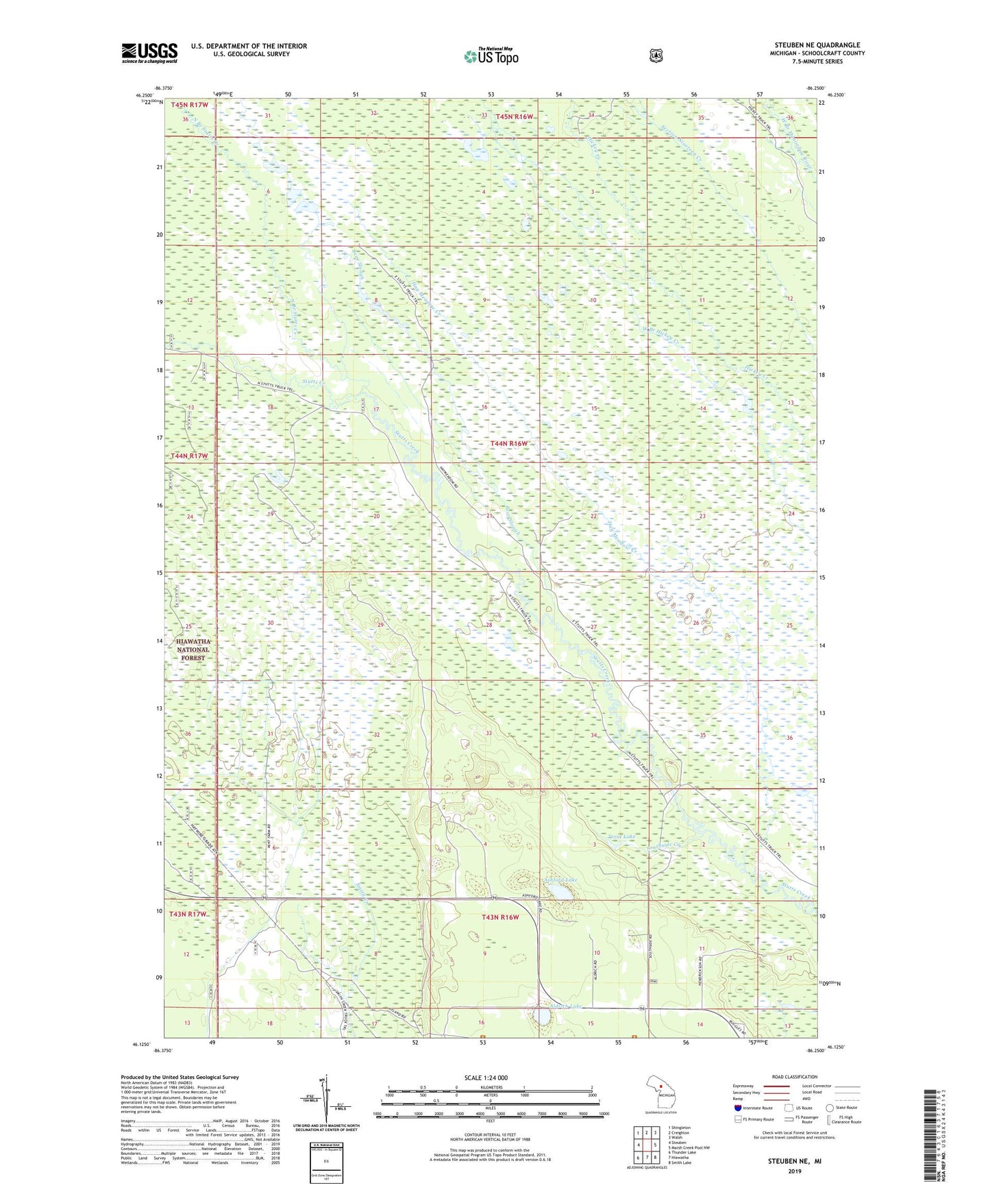
2023 topographic map quadrangle Steuben NE in the state of Michigan. Scale: 1:24000. Based on the newly updated USGS 7.5' US Topo map series, this map is in the following counties: Schoolcraft. The map contains contour data, water features, and other items you are used to seeing on USGS maps, but also has updated roads and other features. This is the next generation of topographic maps. Printed on high-quality waterproof paper with UV fade-resistant inks.
Quads adjacent to this one:
West: Steuben
Northwest: Shingleton
North: Creighton
Northeast: Walsh
East: Marsh Creek Pool NW
Southeast: Smith Lake
South: Hiawatha
Southwest: Thunder Lake
This map covers the same area as the classic USGS quad with code o46086b3.
Contains the following named places: Aldrich Lake, Ashford Lake, Bear Slough, Hay Meadow Creek, North Branch Stutts Creek, Southside Creek, Trout Lake