MyTopo
Weidman Michigan US Topo Map
Couldn't load pickup availability
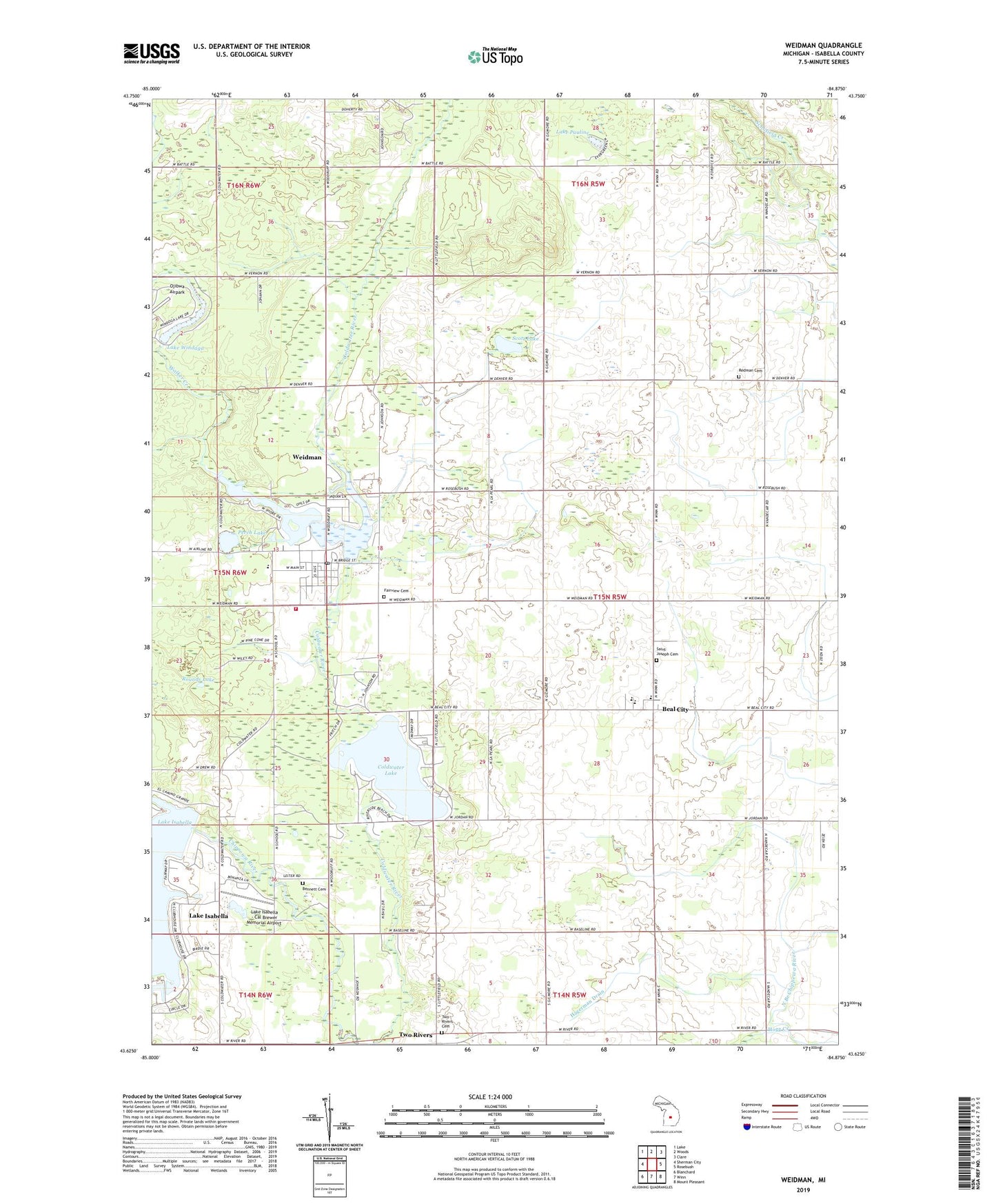
2023 topographic map quadrangle Weidman in the state of Michigan. Scale: 1:24000. Based on the newly updated USGS 7.5' US Topo map series, this map is in the following counties: Isabella. The map contains contour data, water features, and other items you are used to seeing on USGS maps, but also has updated roads and other features. This is the next generation of topographic maps. Printed on high-quality waterproof paper with UV fade-resistant inks.
Quads adjacent to this one:
West: Sherman City
Northwest: Lake
North: Woods
Northeast: Clare
East: Rosebush
Southeast: Mount Pleasant
South: Winn
Southwest: Blanchard
This map covers the same area as the classic USGS quad with code o43084f8.
Contains the following named places: Beal City, Beal City Census Designated Place, Beal City Elementary School, Beal City High School, Beal City Post Office, Bennett Cemetery, Caldwell Post Office, Coldwater Lake, Coldwater Lake Park, Fairview Cemetery, Gammy Woods Campground, Gilmore Post Office, Hagerman Drain, Hogg Creek, Lake Isabella, Lake Isabella - Cal Brewer Memorial Airport, Lake of the Hills, Lake Pauline, Lake Windaga, Mitchell Park, Mud Lake, Nottawa / Sherman Fire Department, Perch Lake, Pines Golf Course, Redman Cemetery, Riley Lake, Rounds Lake, Saint Joseph Cemetery, Saint Joseph Church-Beal City, Scott Lake, Sister Lakes, Township of Nottawa, Two Rivers, Two Rivers Cemetery, Van Decar Post Office, Walker Creek, Weidman, Weidman Area Health Clinic, Weidman Census Designated Place, Weidman Church, Weidman Elementary School, Weidman Post Office, Weidman Public Library, Weidman Station, Weidman United Methodist Church, ZIP Code: 48893


