MyTopo
Whitney Michigan US Topo Map
Couldn't load pickup availability
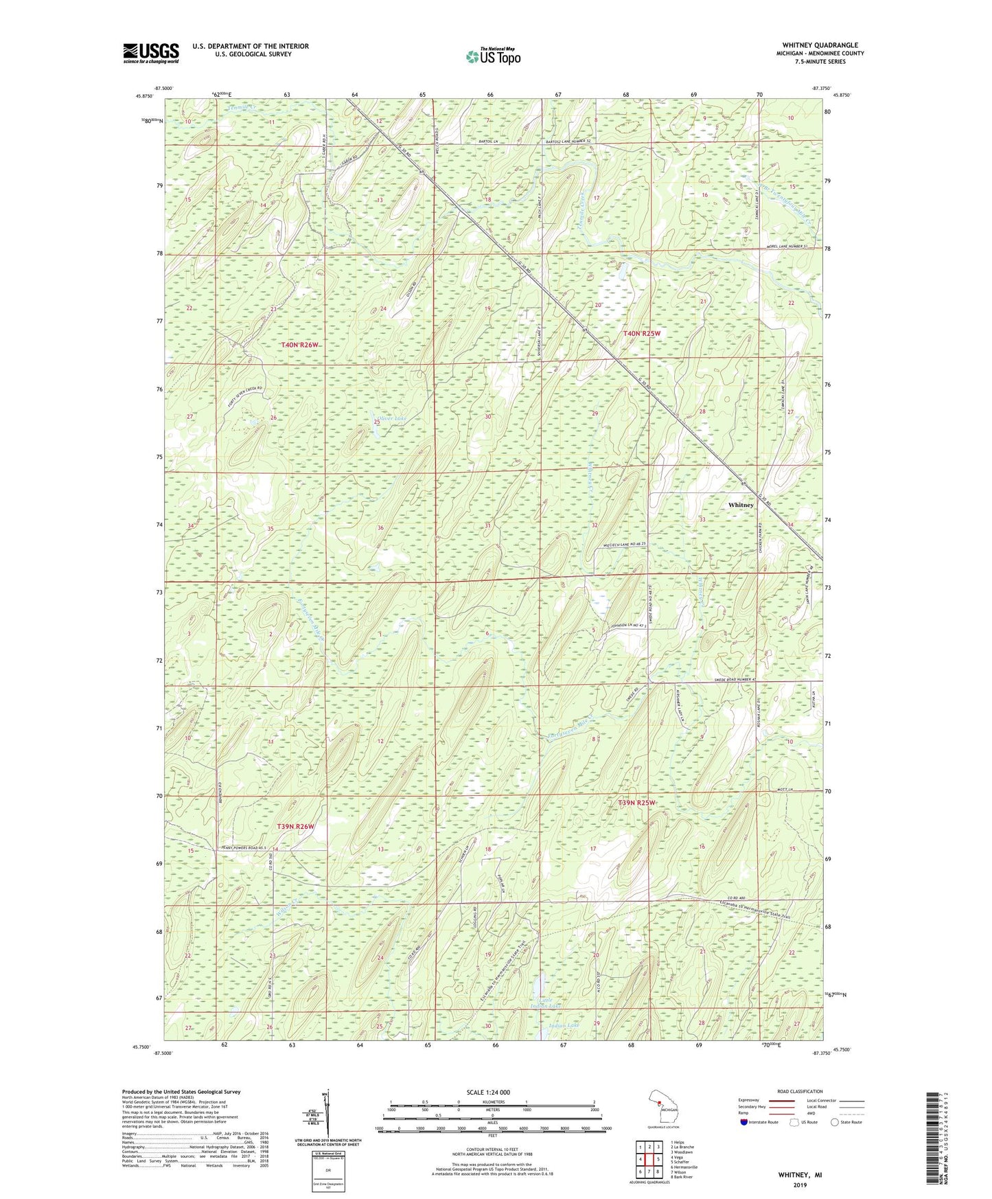
2023 topographic map quadrangle Whitney in the state of Michigan. Scale: 1:24000. Based on the newly updated USGS 7.5' US Topo map series, this map is in the following counties: Menominee. The map contains contour data, water features, and other items you are used to seeing on USGS maps, but also has updated roads and other features. This is the next generation of topographic maps. Printed on high-quality waterproof paper with UV fade-resistant inks.
Quads adjacent to this one:
West: Vega
Northwest: Helps
North: La Branche
Northeast: Woodlawn
East: Schaffer
Southeast: Bark River
South: Wilson
Southwest: Hermansville
This map covers the same area as the classic USGS quad with code o45087g4.
Contains the following named places: Hannahville Indian Community, Indian Lake, Little Indian Lake, Oliver Lake, Township of Harris, Whitney, Whitney Creek, Whitney Post Office, Whitney Station