MyTopo
Alvarado Minnesota US Topo Map
Couldn't load pickup availability
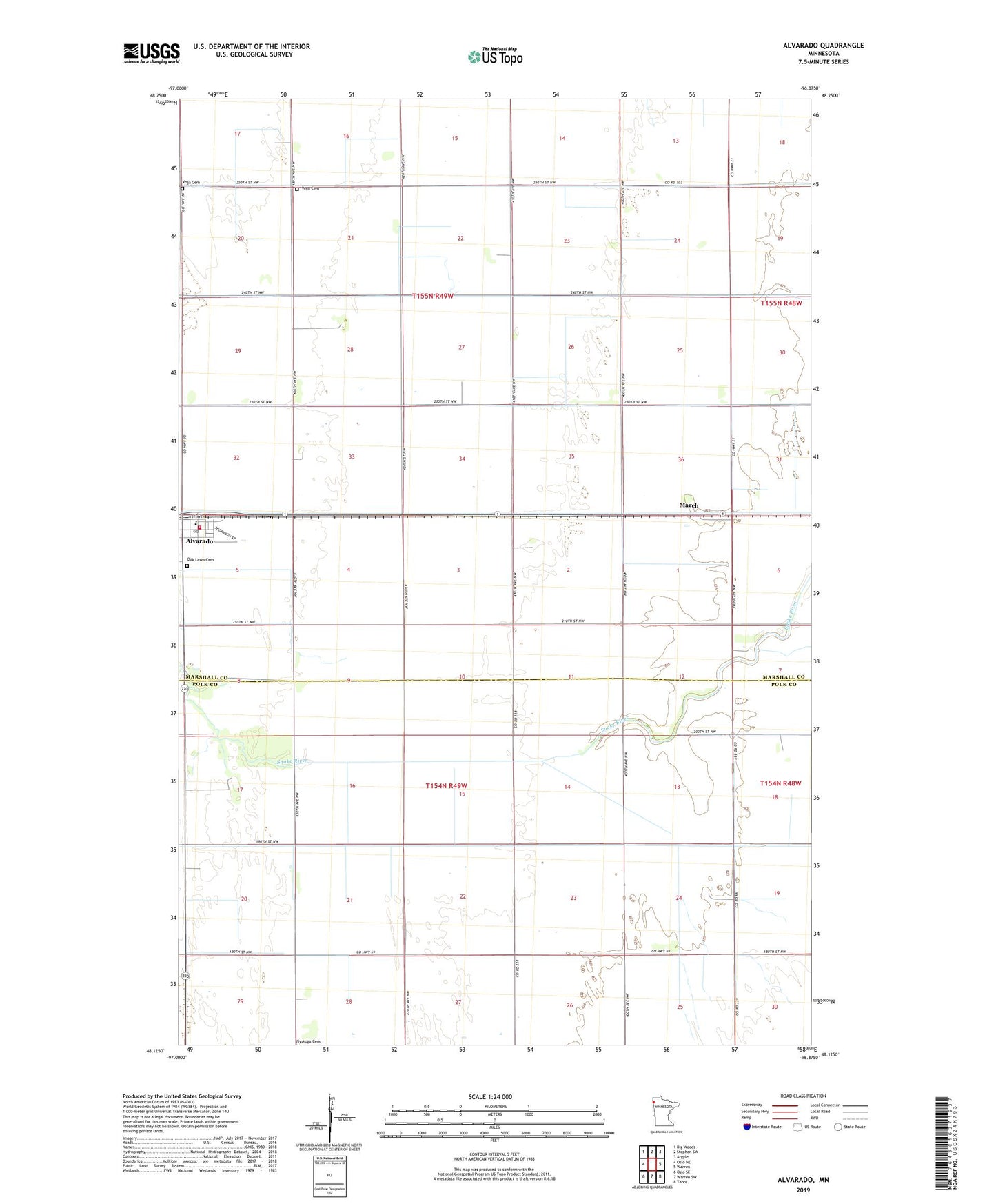
2019 topographic map quadrangle Alvarado in the state of Minnesota. Scale: 1:24000. Based on the newly updated USGS 7.5' US Topo map series, this map is in the following counties: Marshall, Polk. The map contains contour data, water features, and other items you are used to seeing on USGS maps, but also has updated roads and other features. This is the next generation of topographic maps. Printed on high-quality waterproof paper with UV fade-resistant inks.
Quads adjacent to this one:
West: Oslo NE
Northwest: Big Woods
North: Stephen SW
Northeast: Argyle
East: Warren
Southeast: Tabor
South: Warren SW
Southwest: Oslo SE
Contains the following named places: Alvarado, Alvarado Post Office, Alvarado Station, Alvarado Volunteer Fire Department, City of Alvarado, County Ditch Number Fortyone, County Ditch Number Sixteen, County Ditch Number Twentyone, Judicial Ditch Number One, Judicial Ditch Number Twentyfour, Kollin's Trailer Court, March, March Post Office, Oak Lawn Cemetery, Sandsville School, Snake River Ditch, Township of Sandsville, Township of Vega, Vega Cemetery, Wagon Wheel Trailer Court